Propagated on the device • five Apple platforms

Orbit Map: Live 3D ISS, Starlink & Debris

A working atlas of everything humanity has left in orbit.

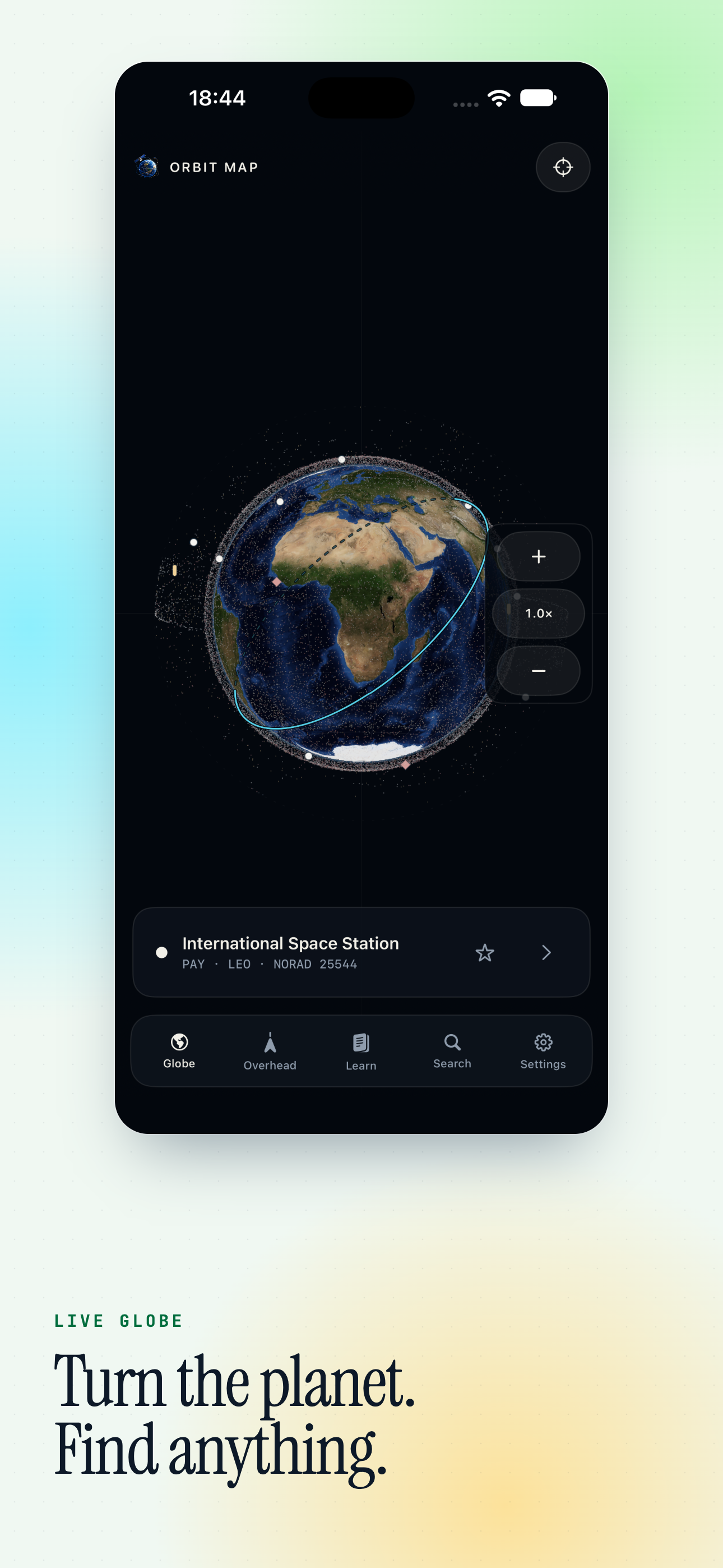
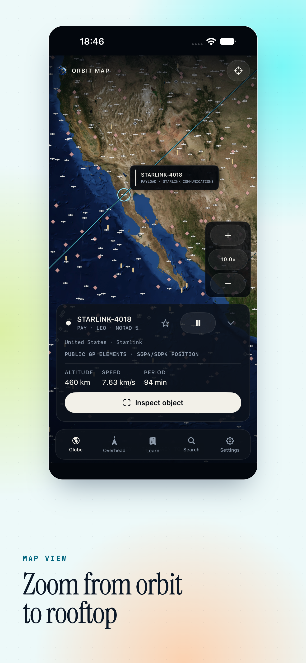
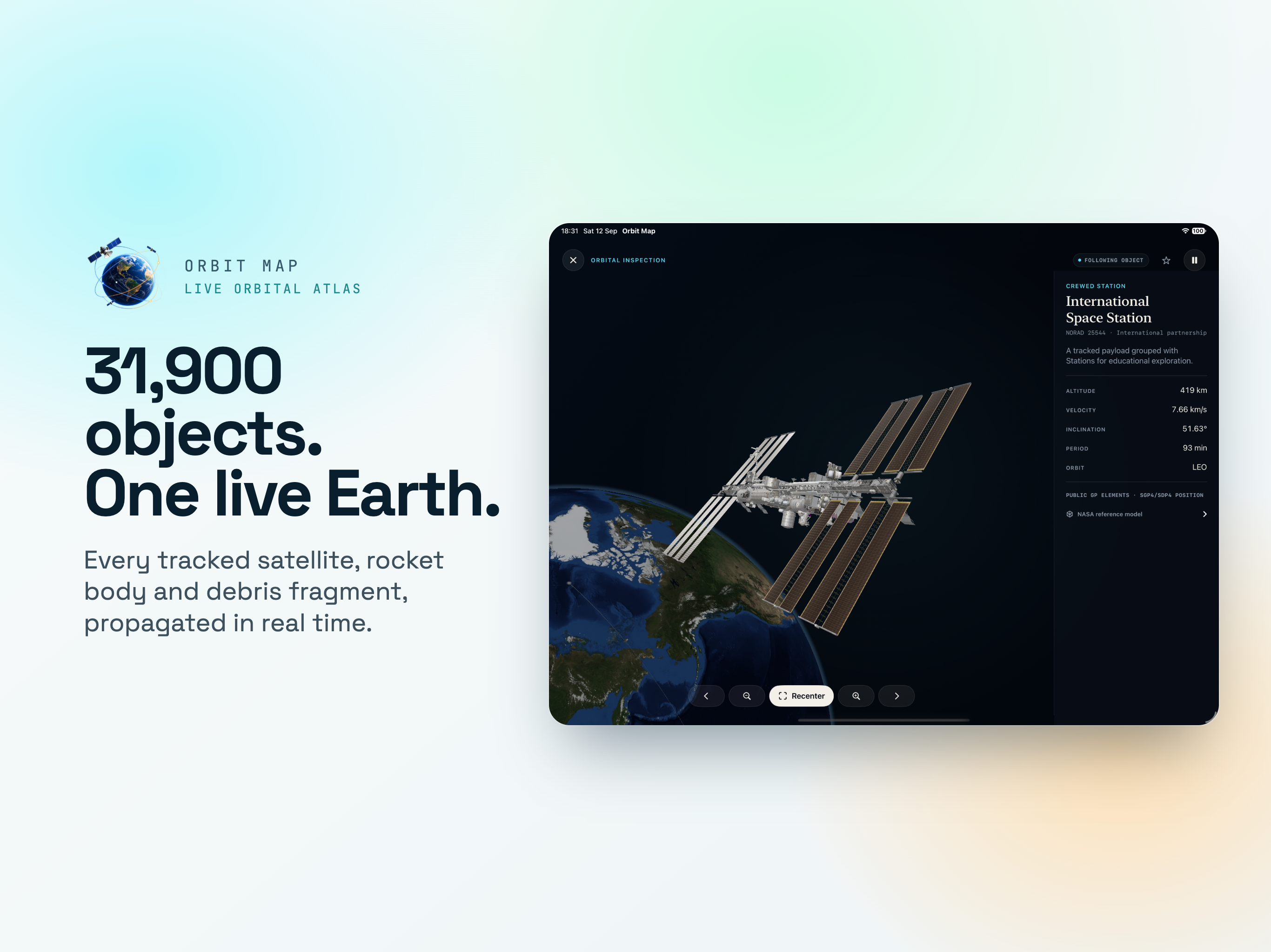
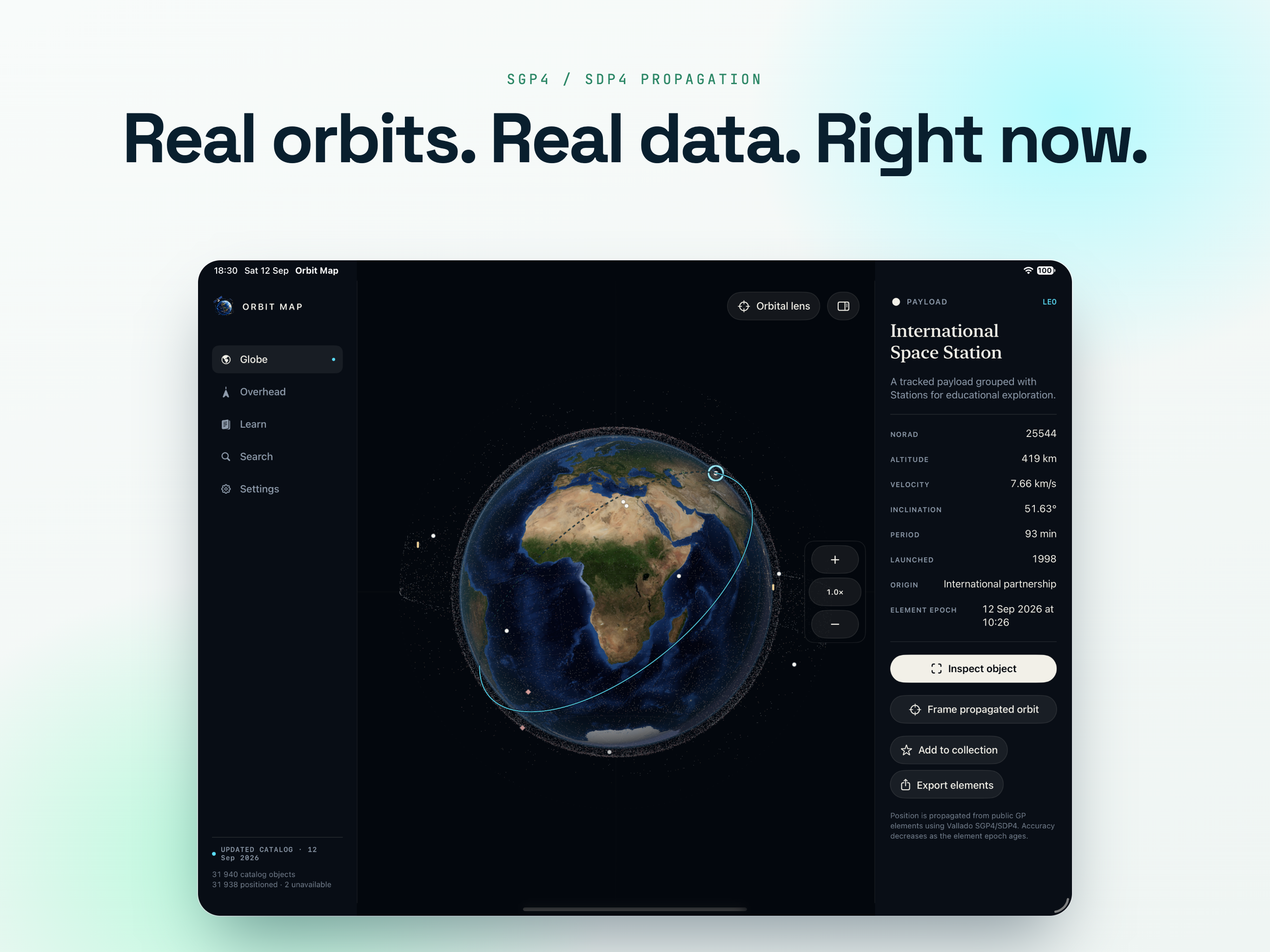
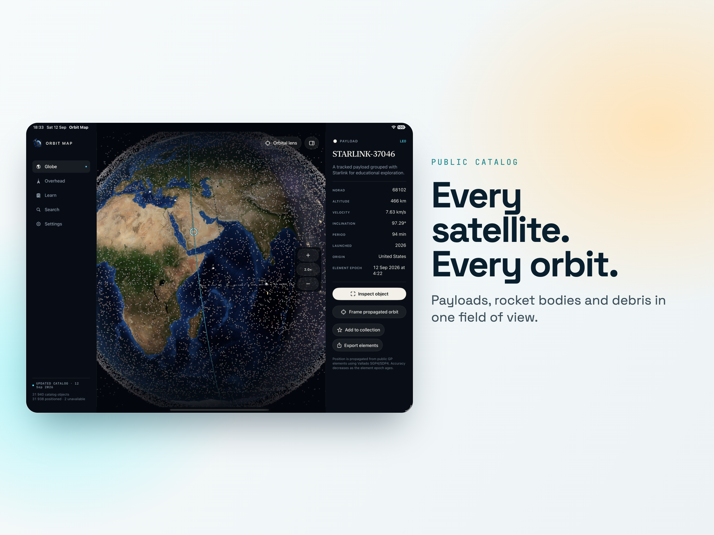
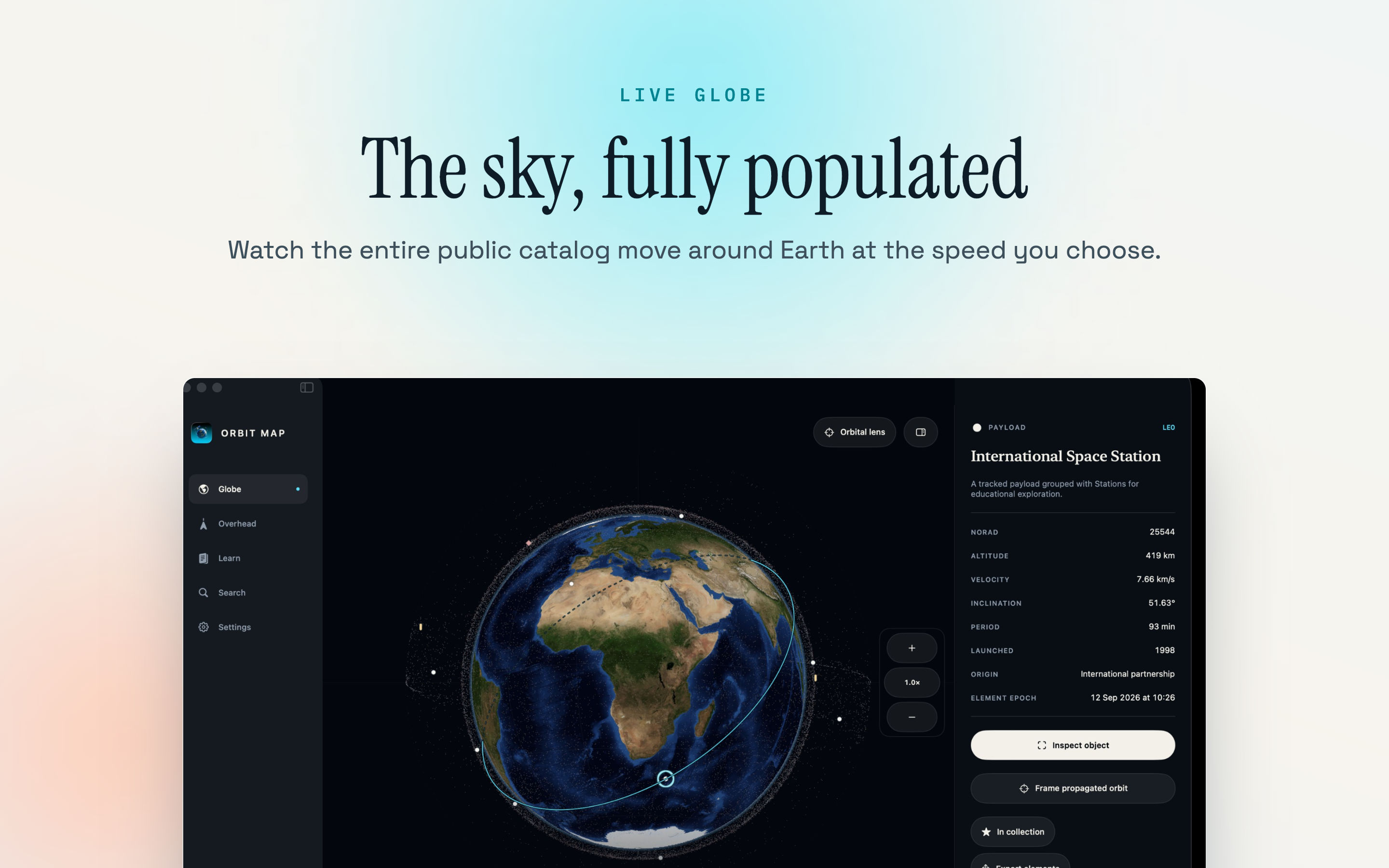
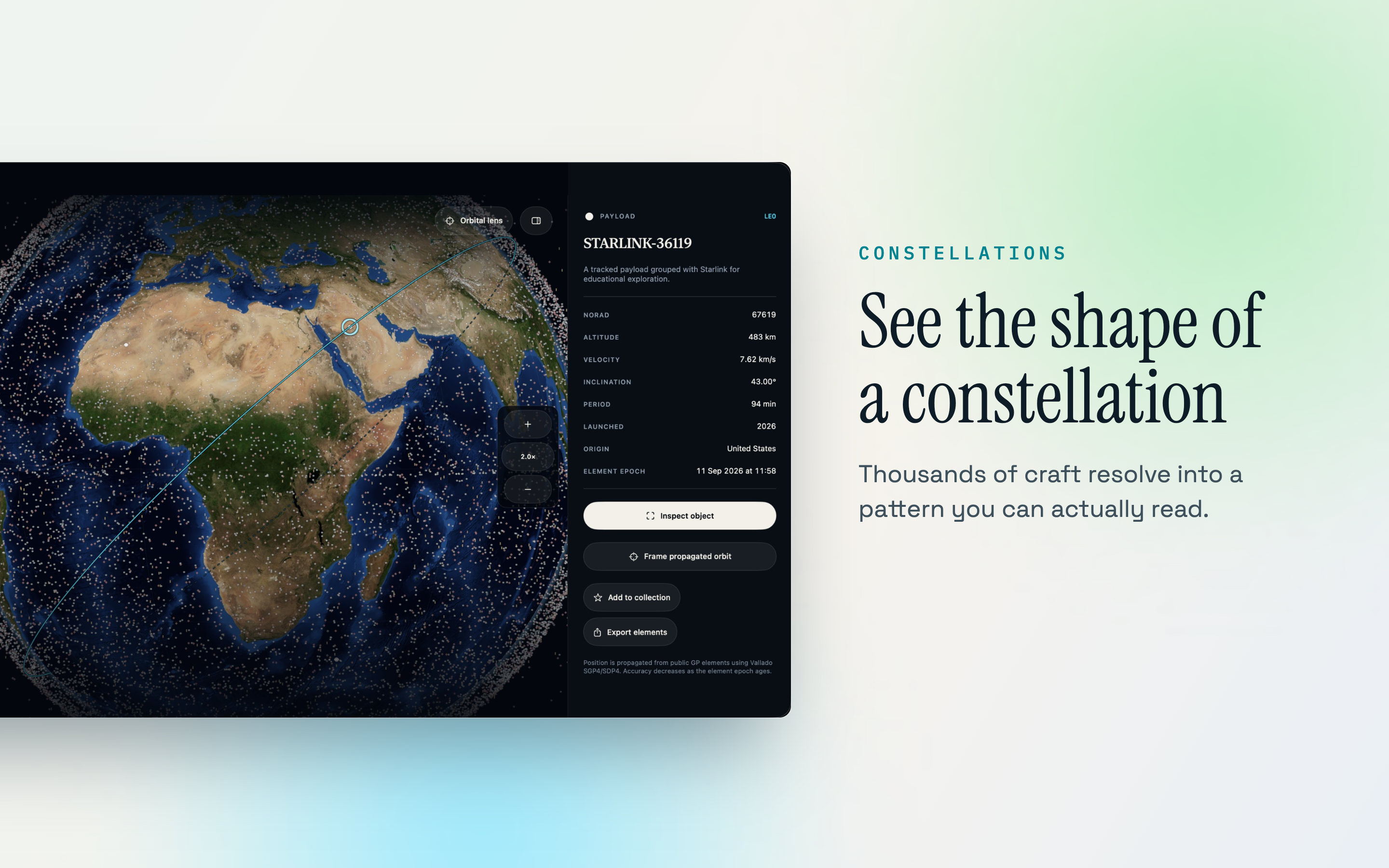
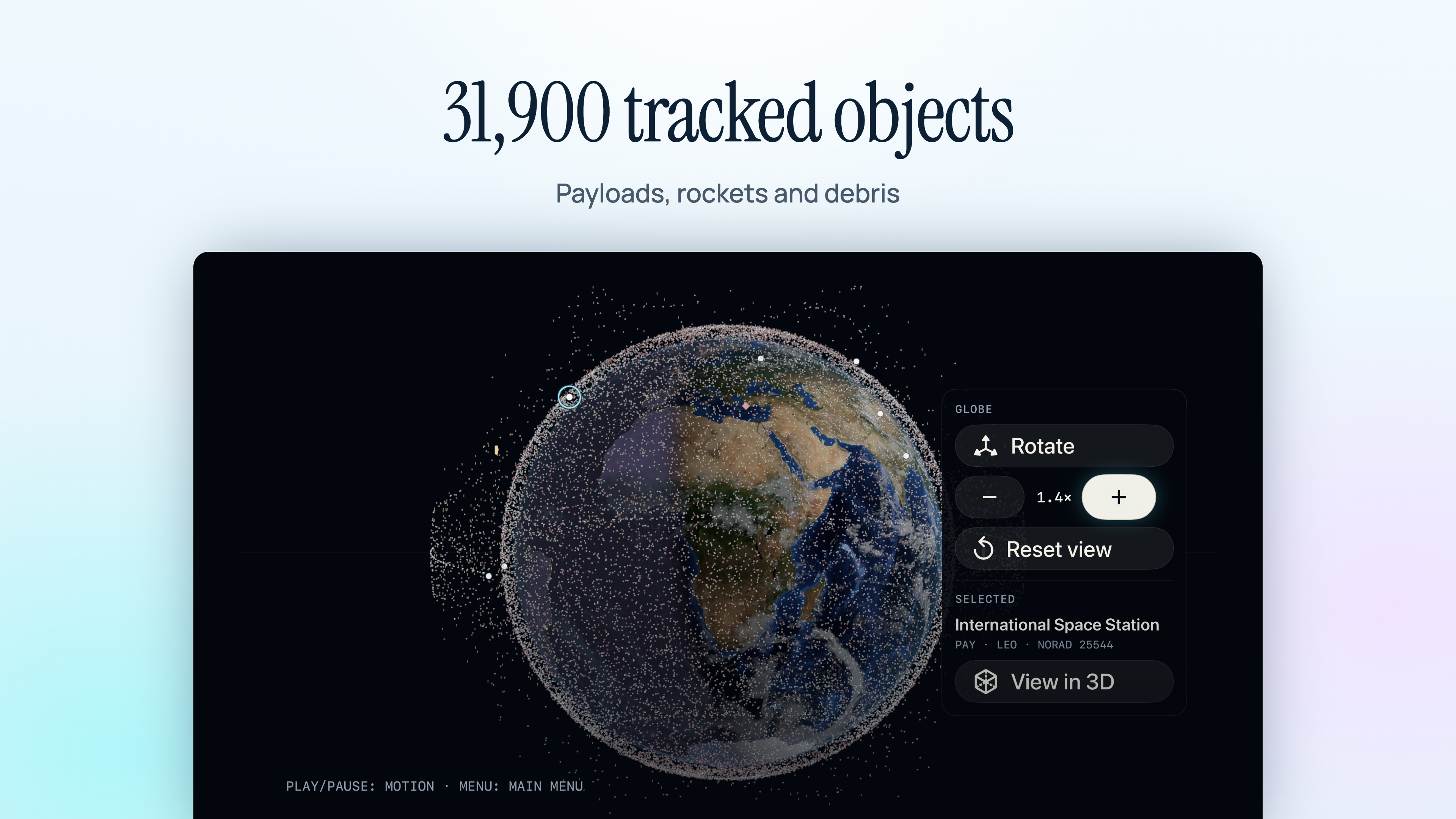
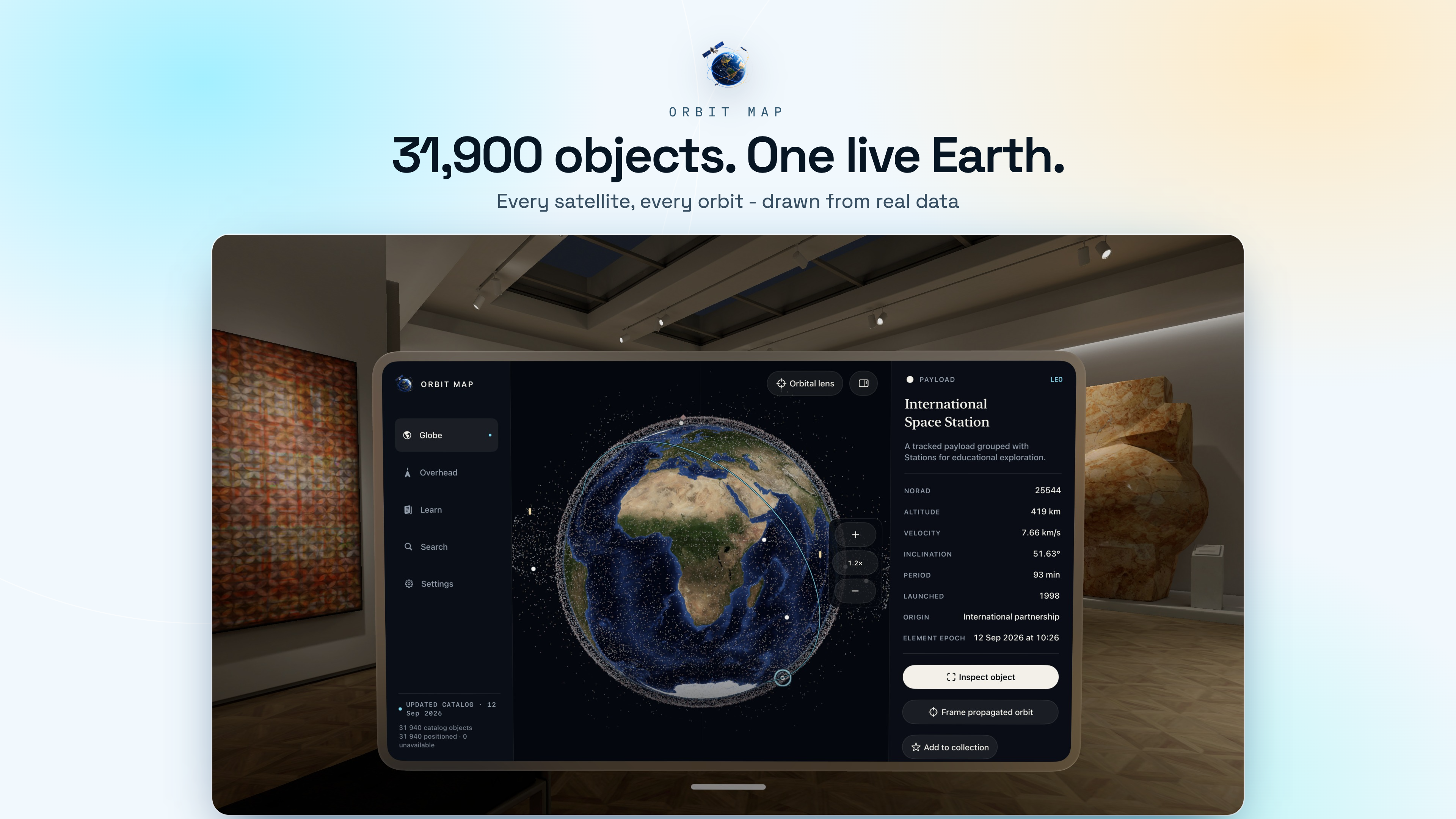
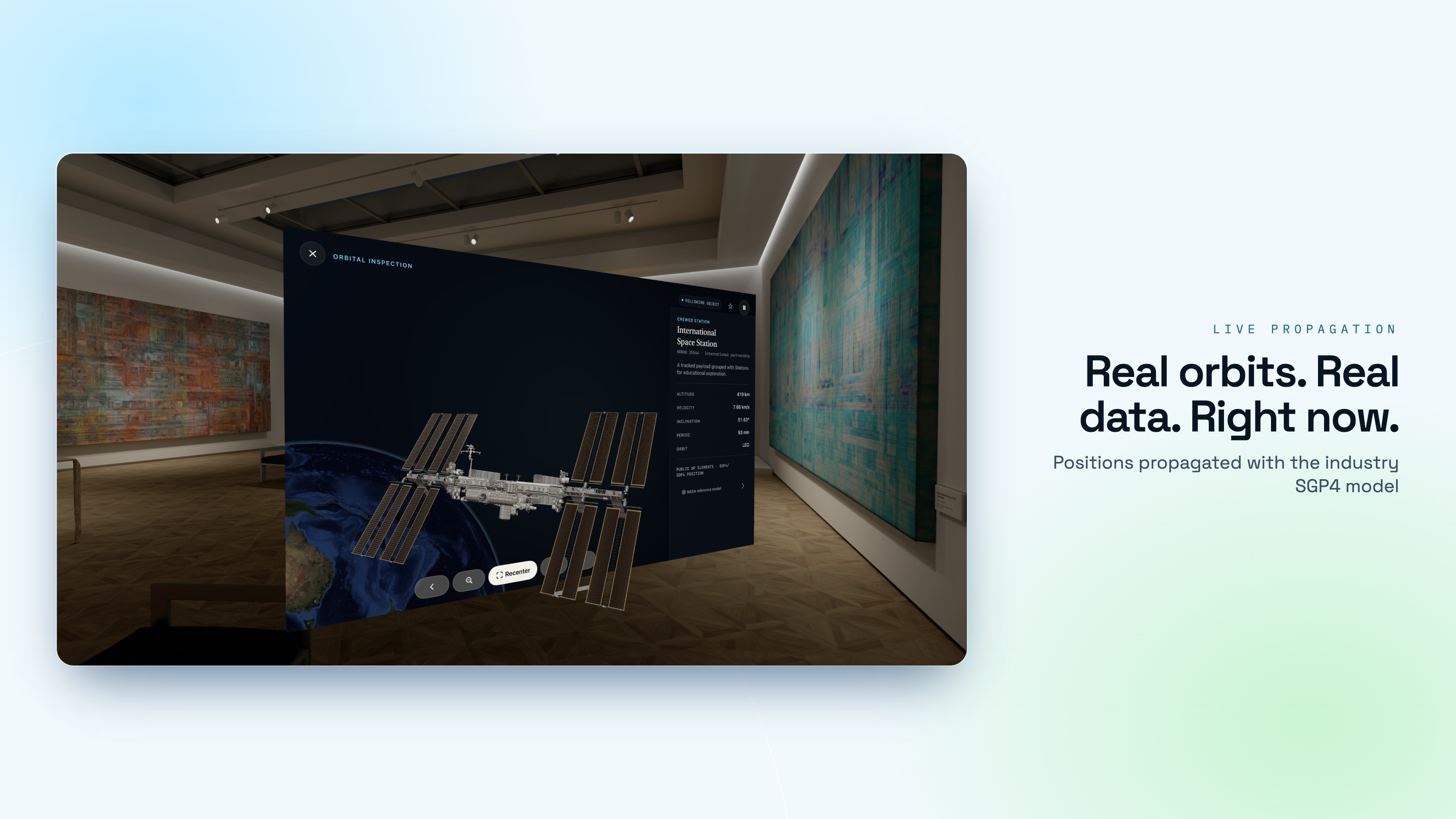
Around 31,900 tracked objects, propagated on your device with the same SGP4/SDP4 model the industry uses, drawn on a real 3D Earth you can turn in your hands. Search a name or a NORAD number and the orbit appears. Tap one group and ten thousand Starlink satellites light up at once.

Download on the App Store
iPhone, iPad, Mac, TV & Vision Pro ~31,900 tracked objects 54-lesson Academy Element age on every screen
Orbit Map app icon

Every catalogued object, not just the famous ones

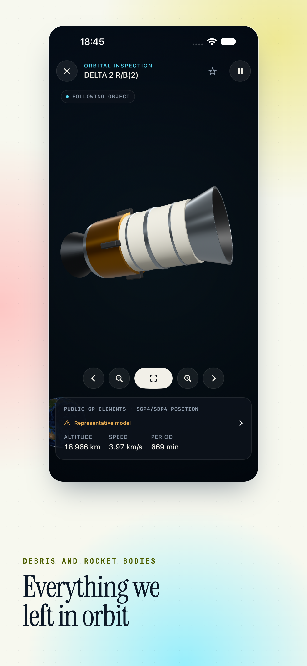
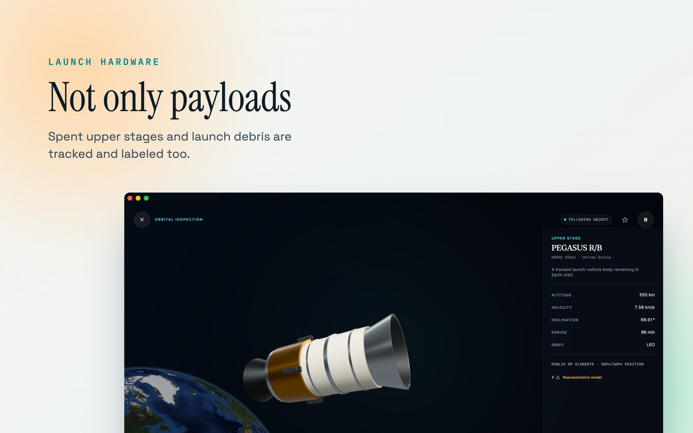
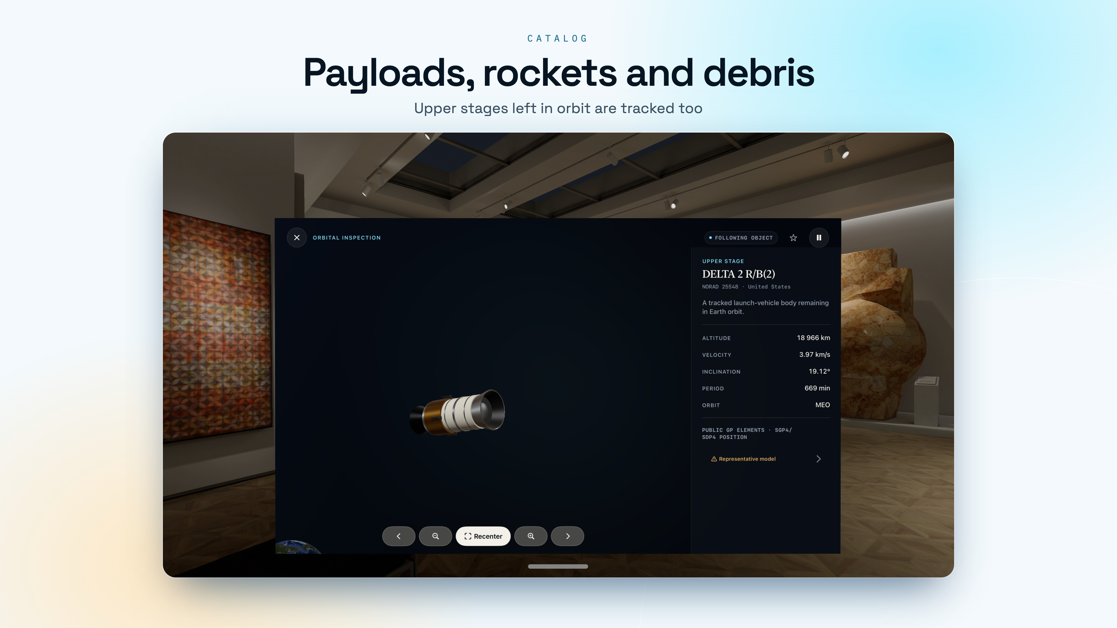
Working satellites are a minority of what is up there. The atlas draws the payloads, the spent rocket stages and the debris together, because the picture only makes sense whole.

Space Station Tiangong Hubble Starlink OneWeb GPS Galileo GLONASS Weather satellites Rocket bodies Debris shells
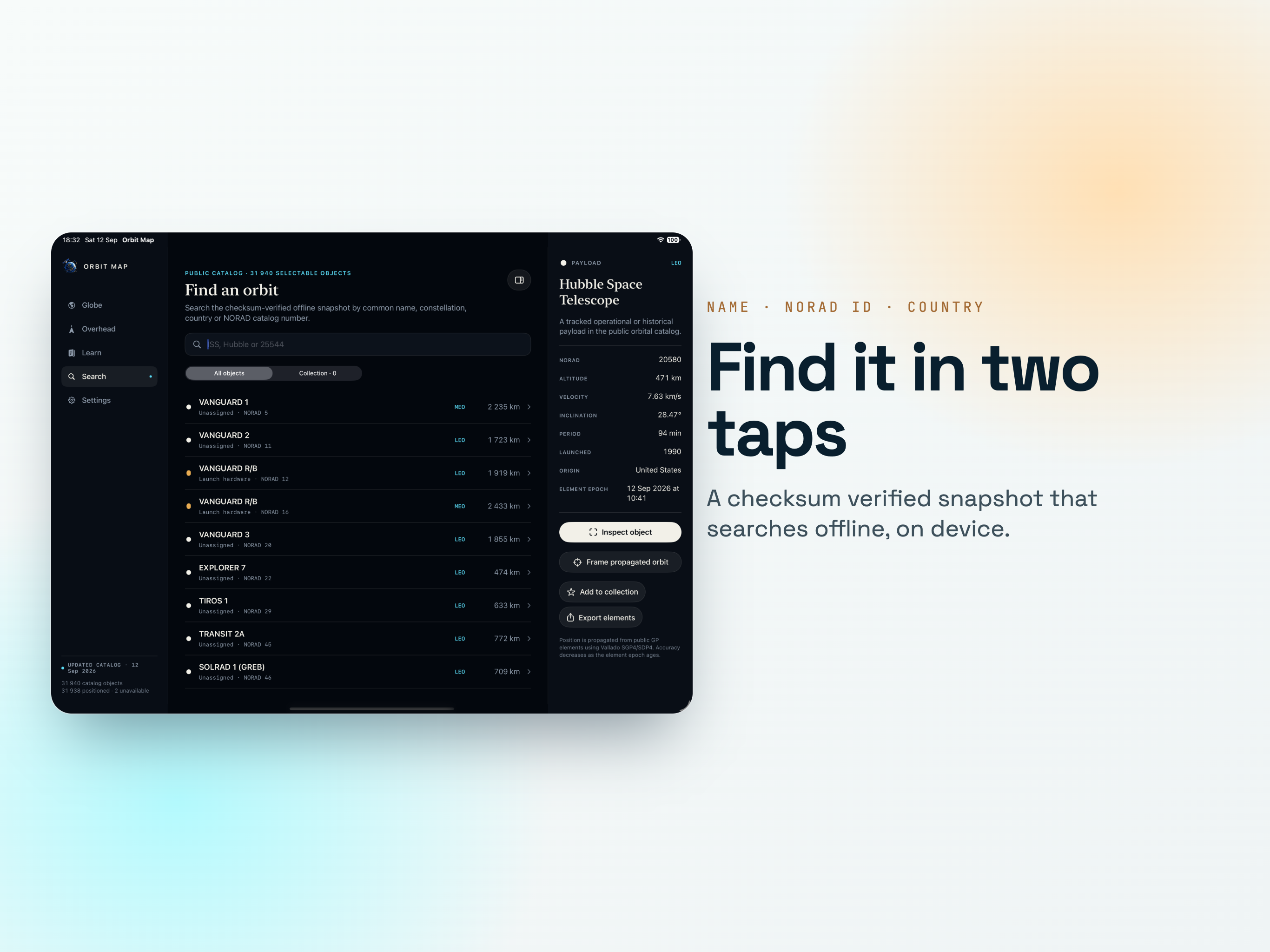
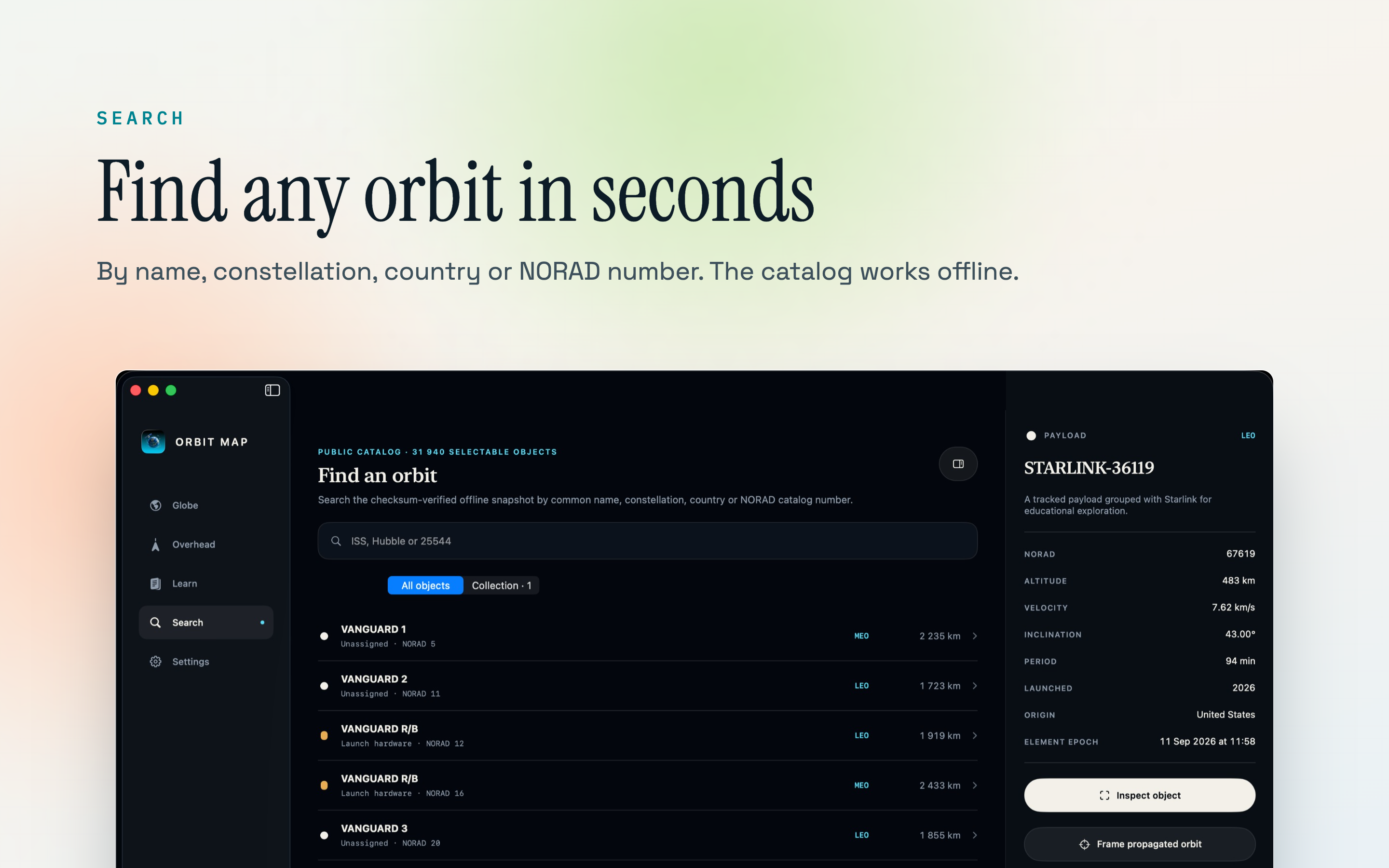
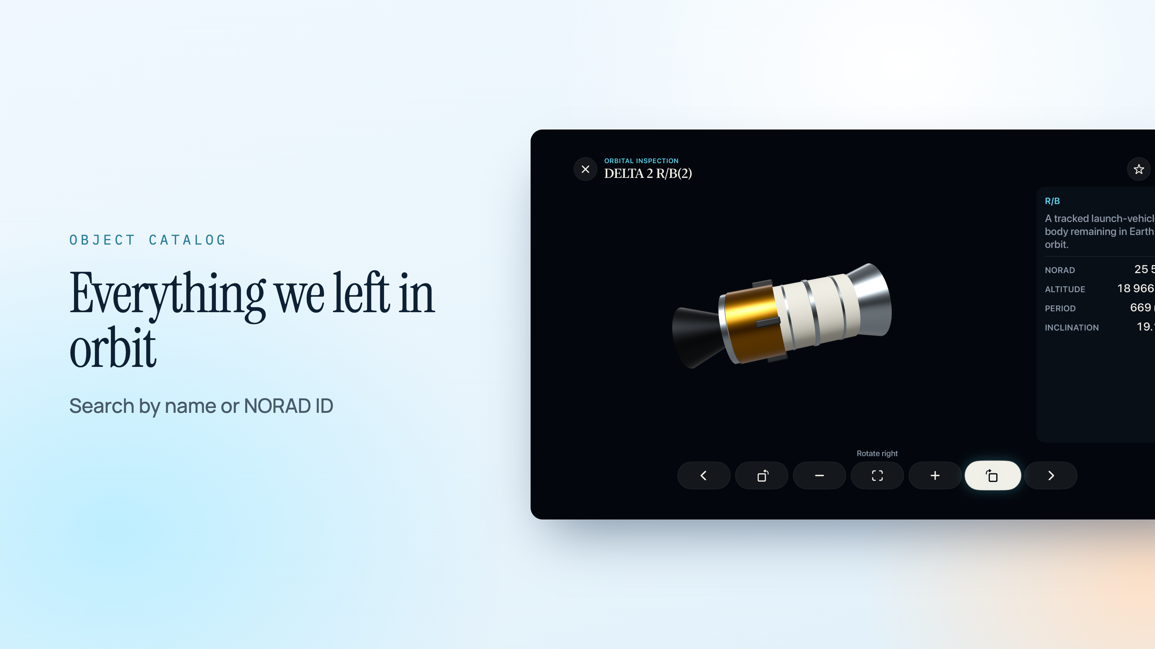
Find anything by name or number

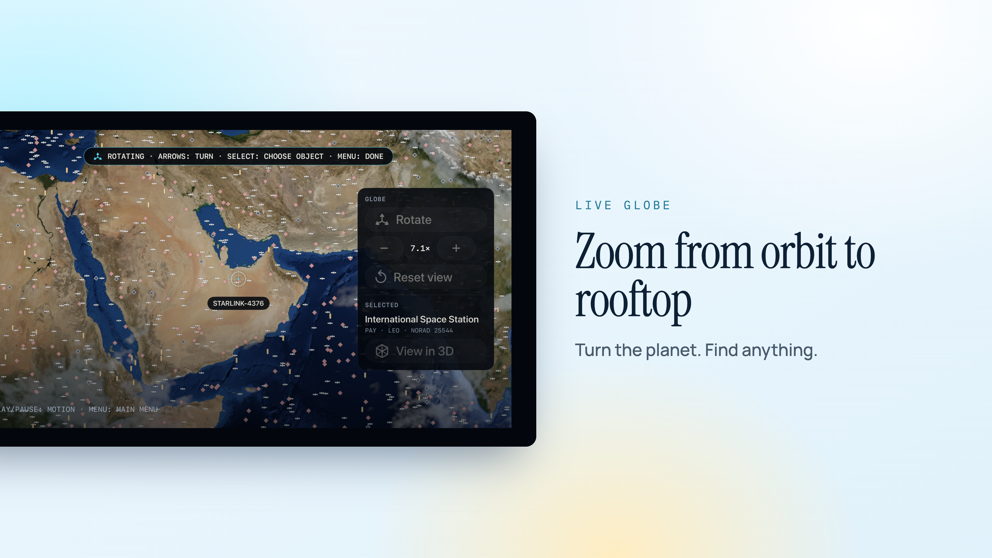
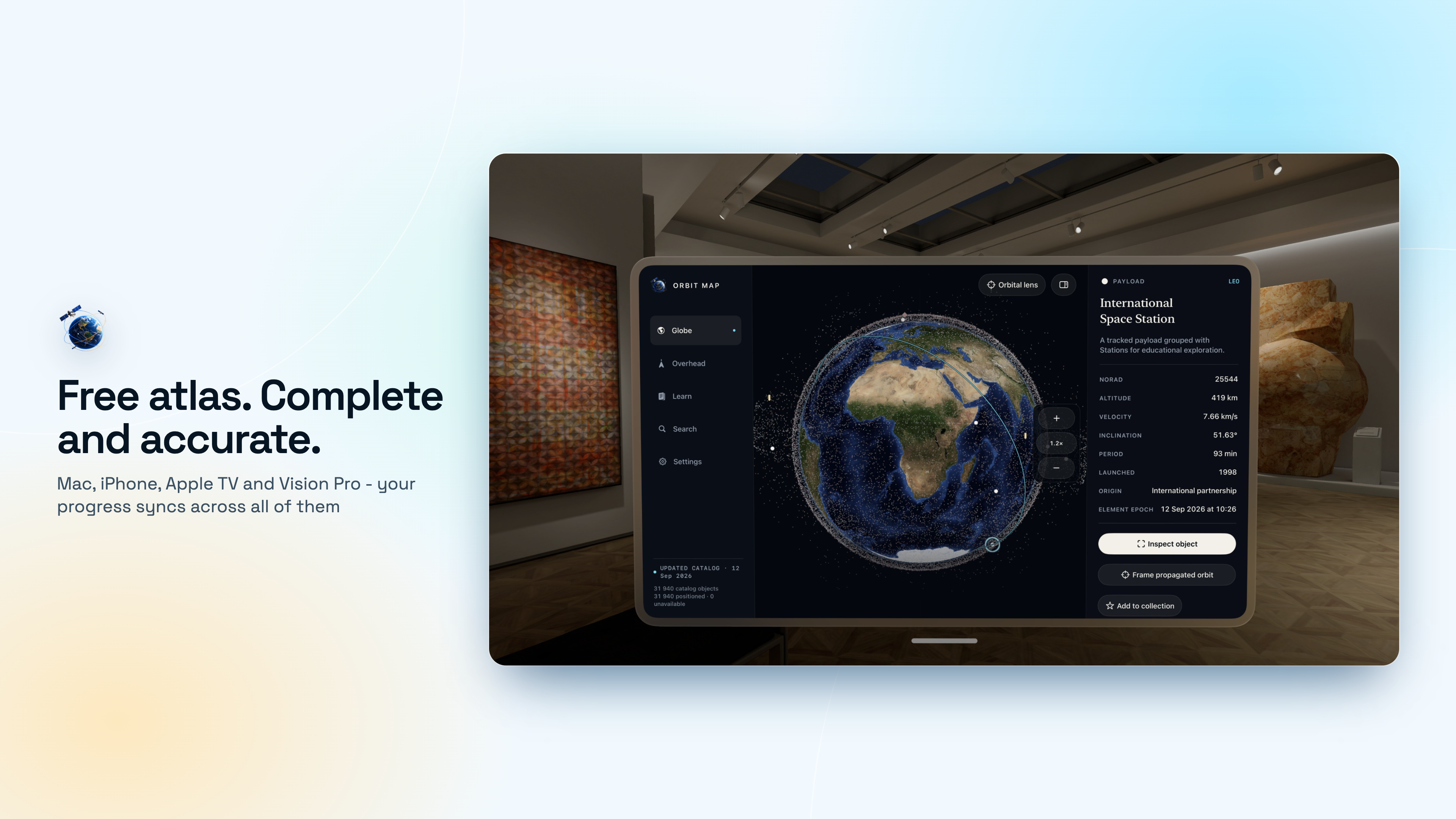
Type a name or a NORAD catalogue number and the orbit is drawn on the globe. Tap any dot to open it in the inspector.

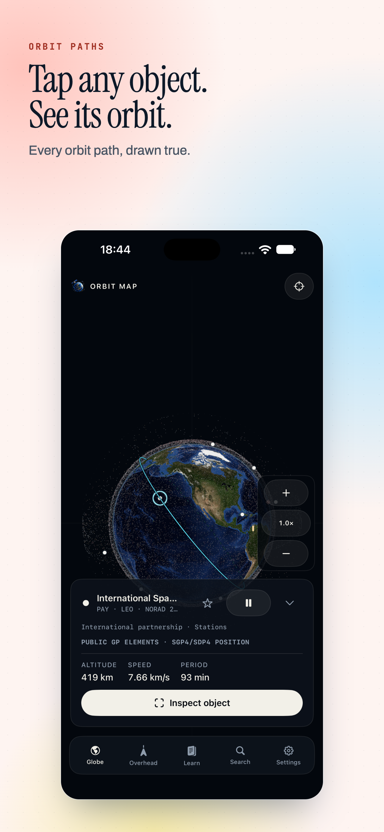
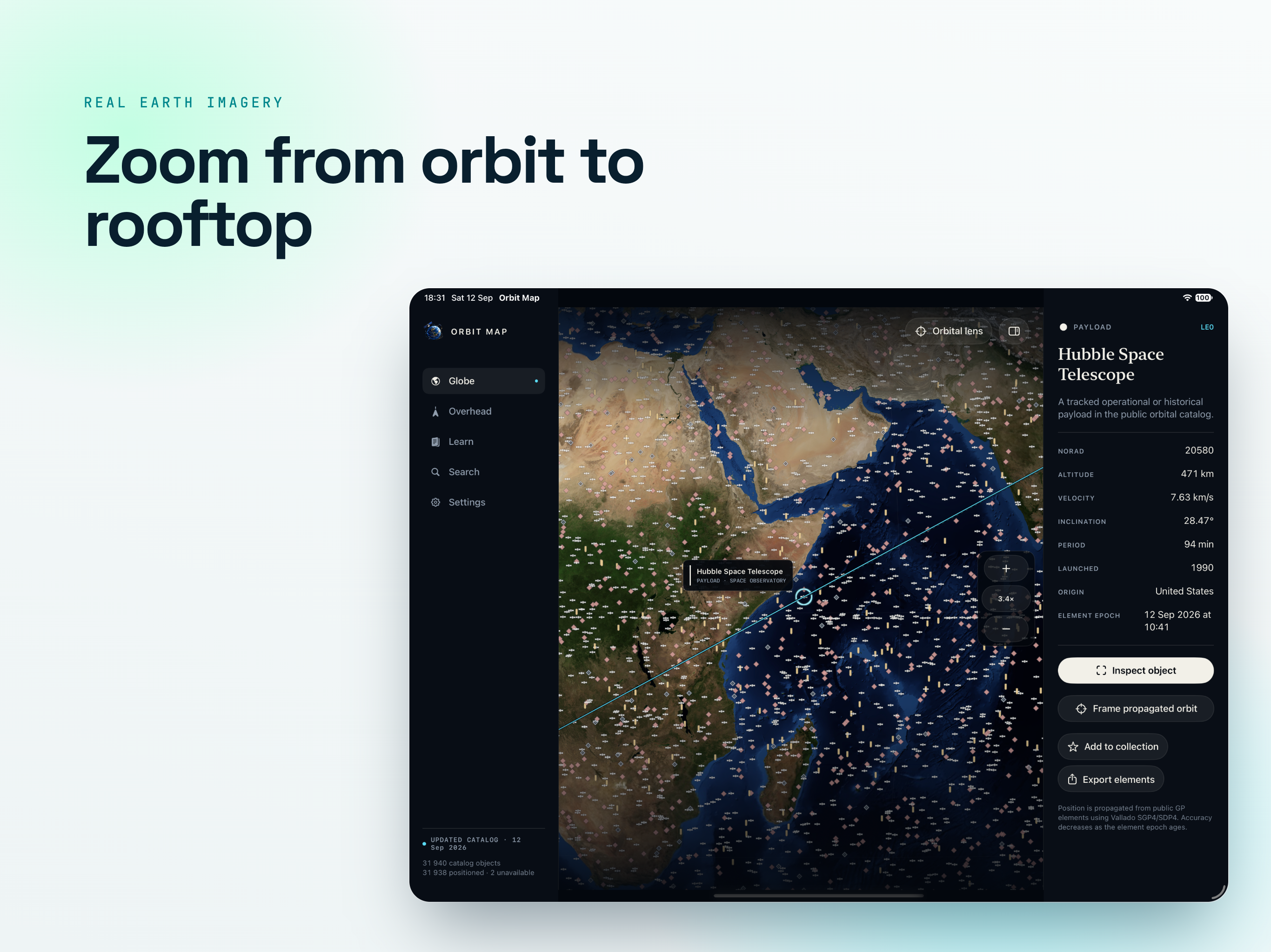
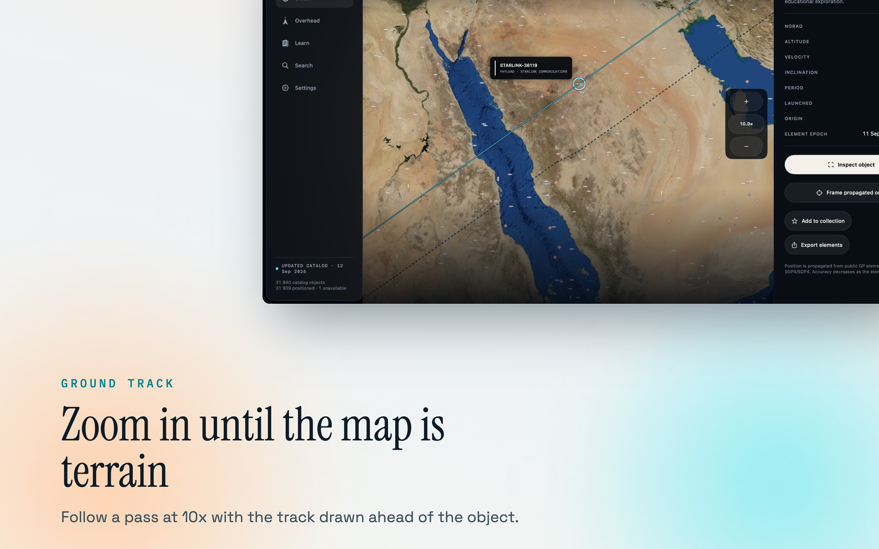
Orbits, ground tracks, footprints

The path in space, the track it traces over the ground, and the circle of Earth that can see it at that moment.

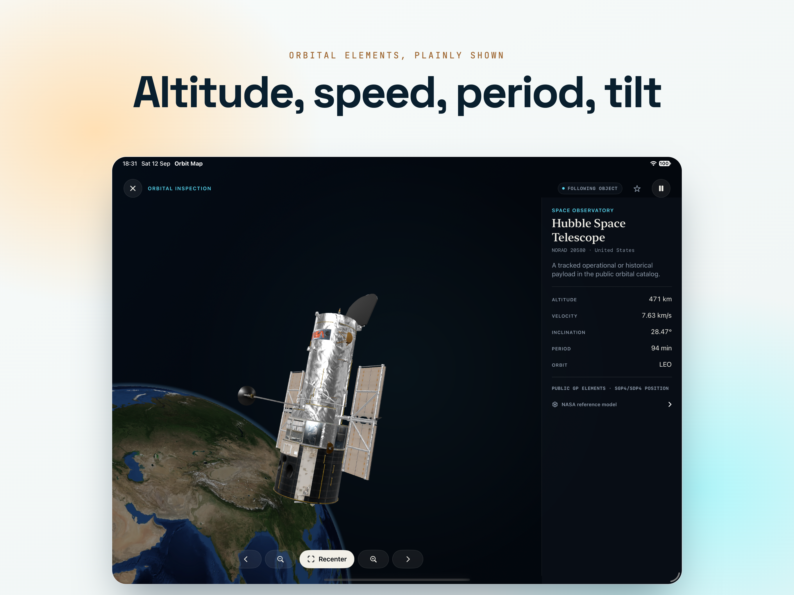
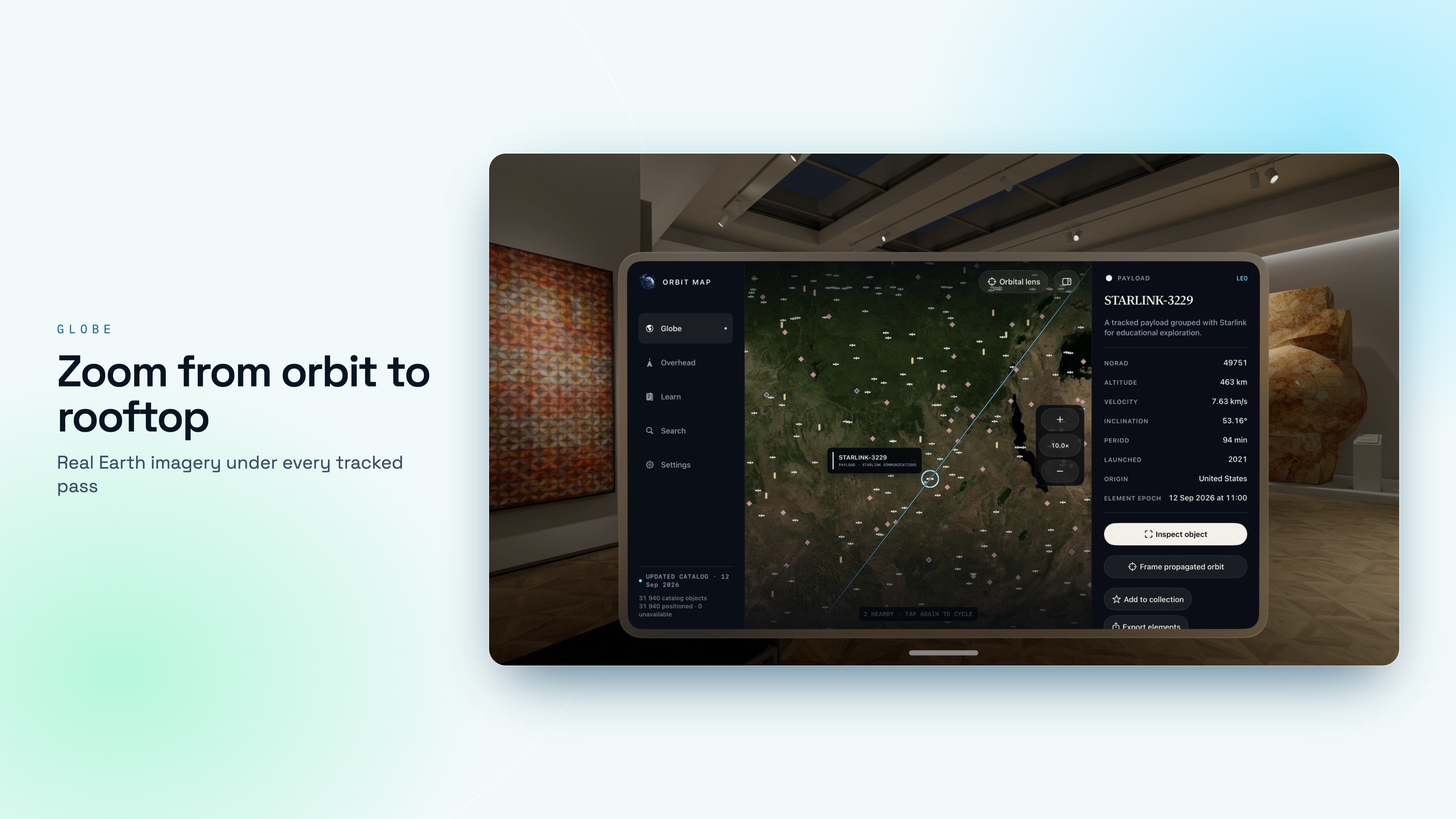
The numbers behind the dot

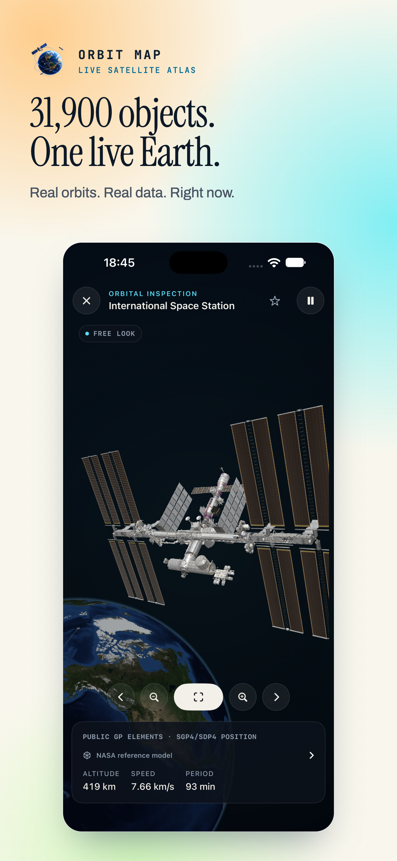
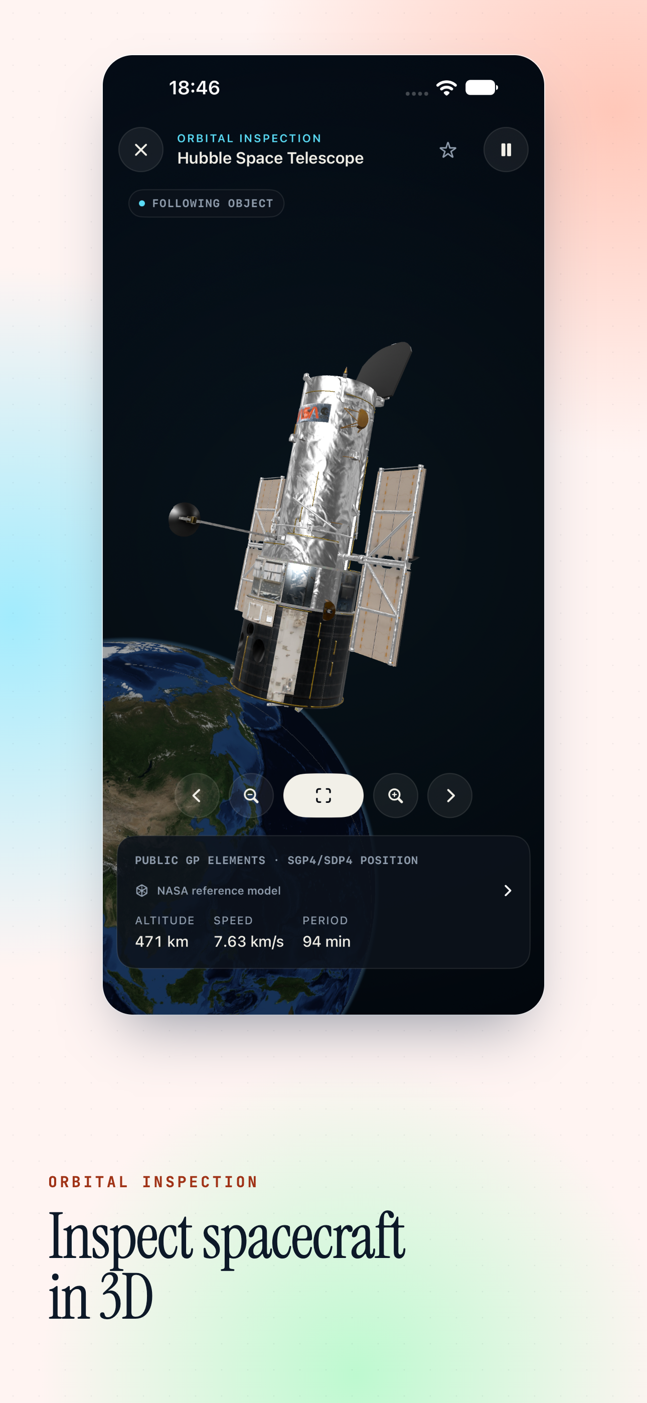
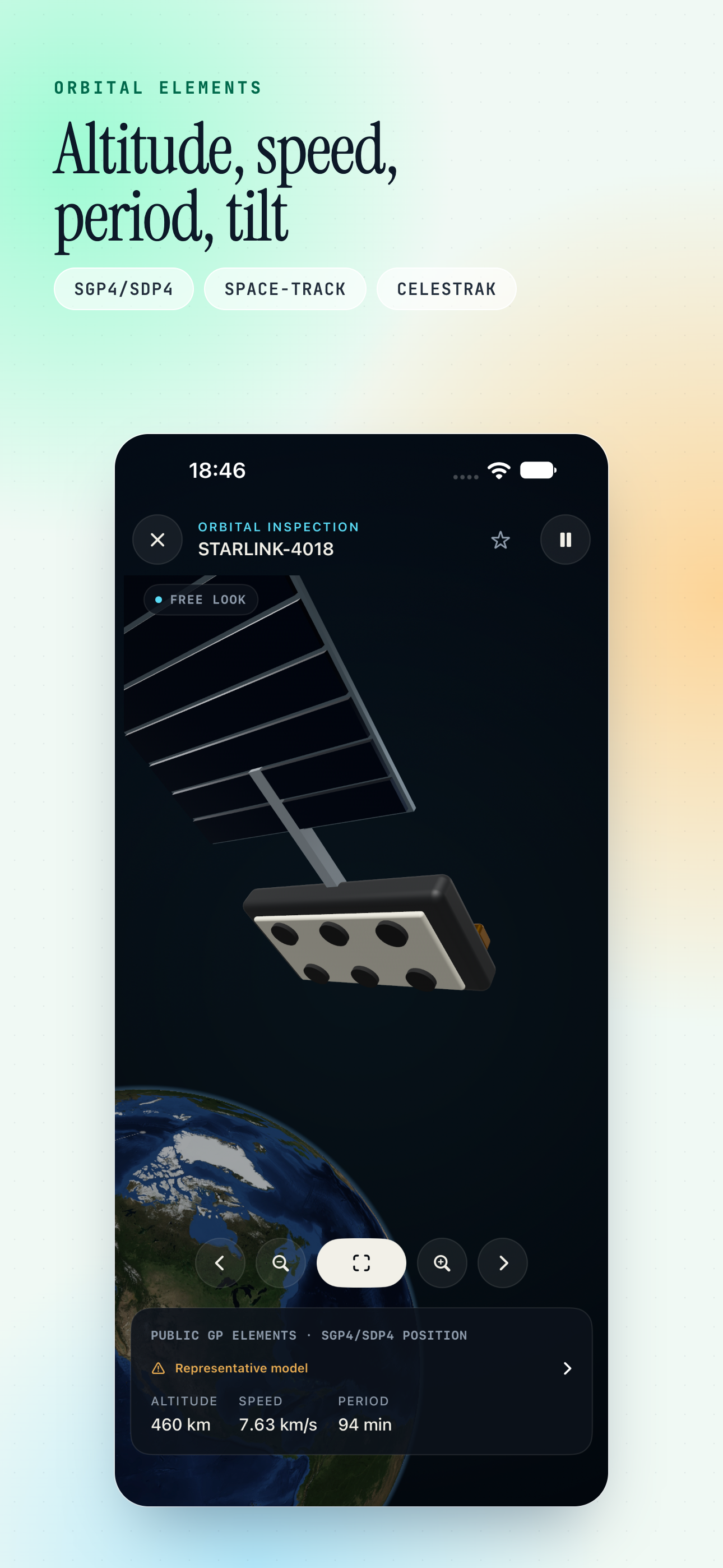
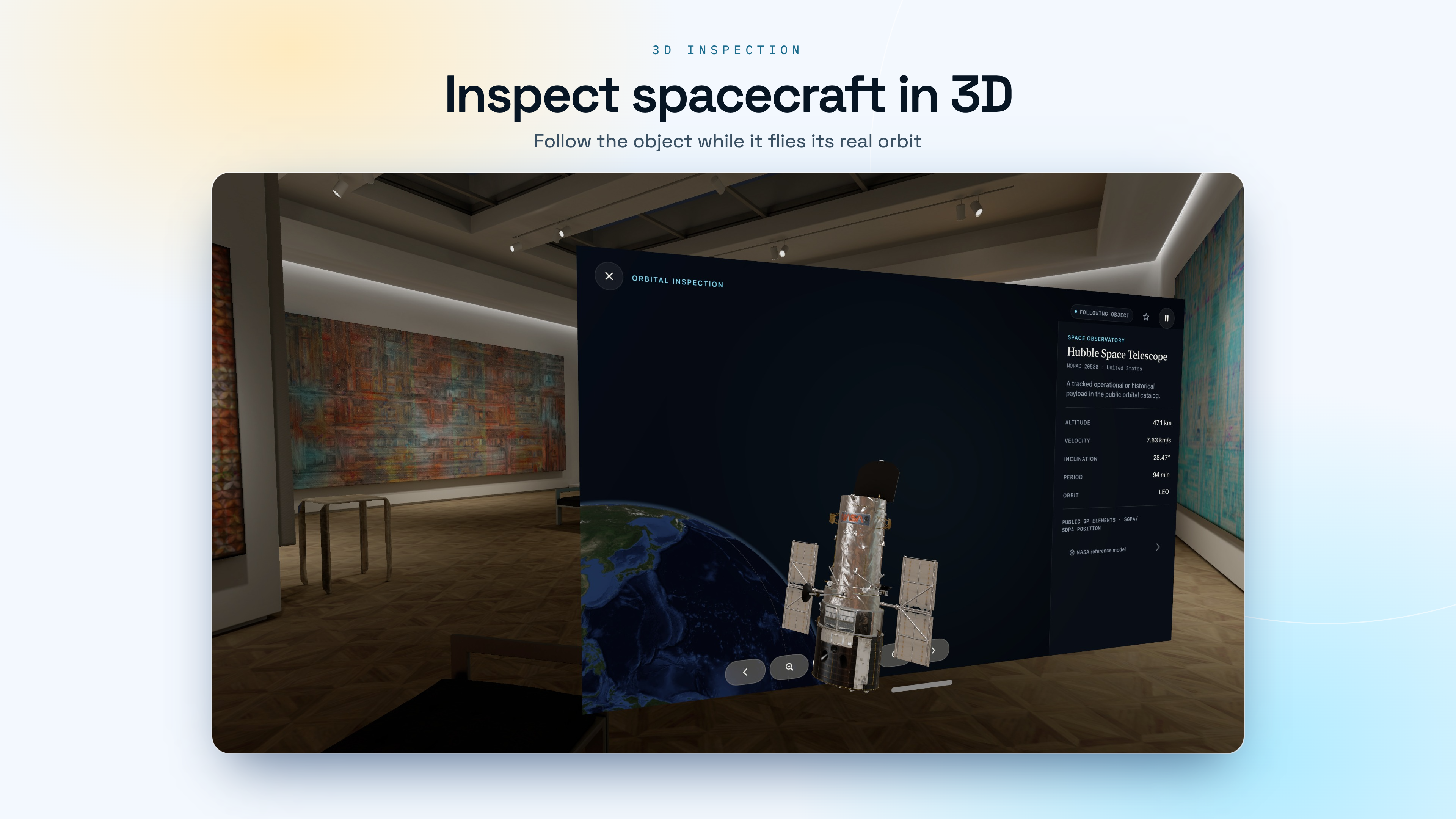
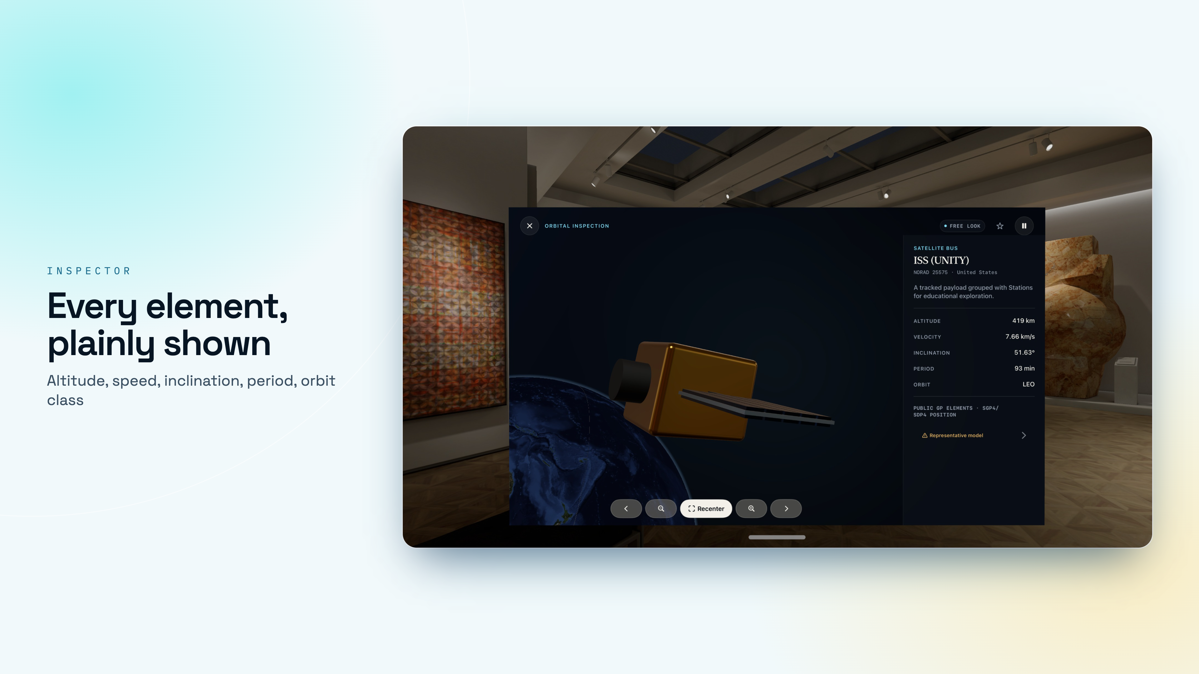
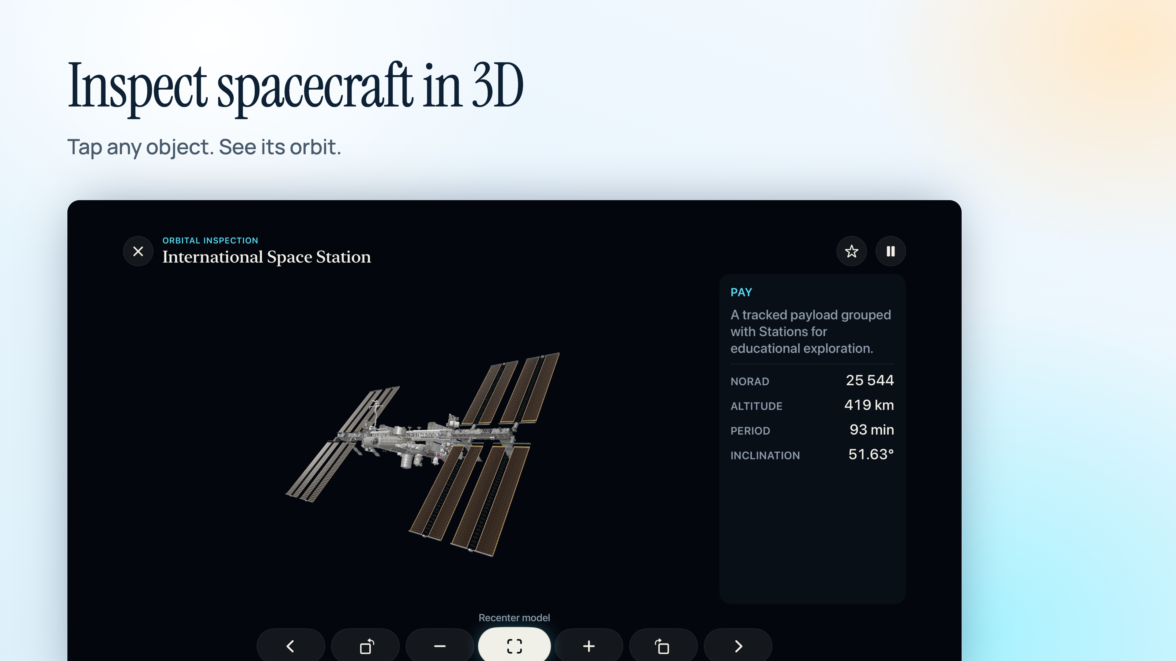
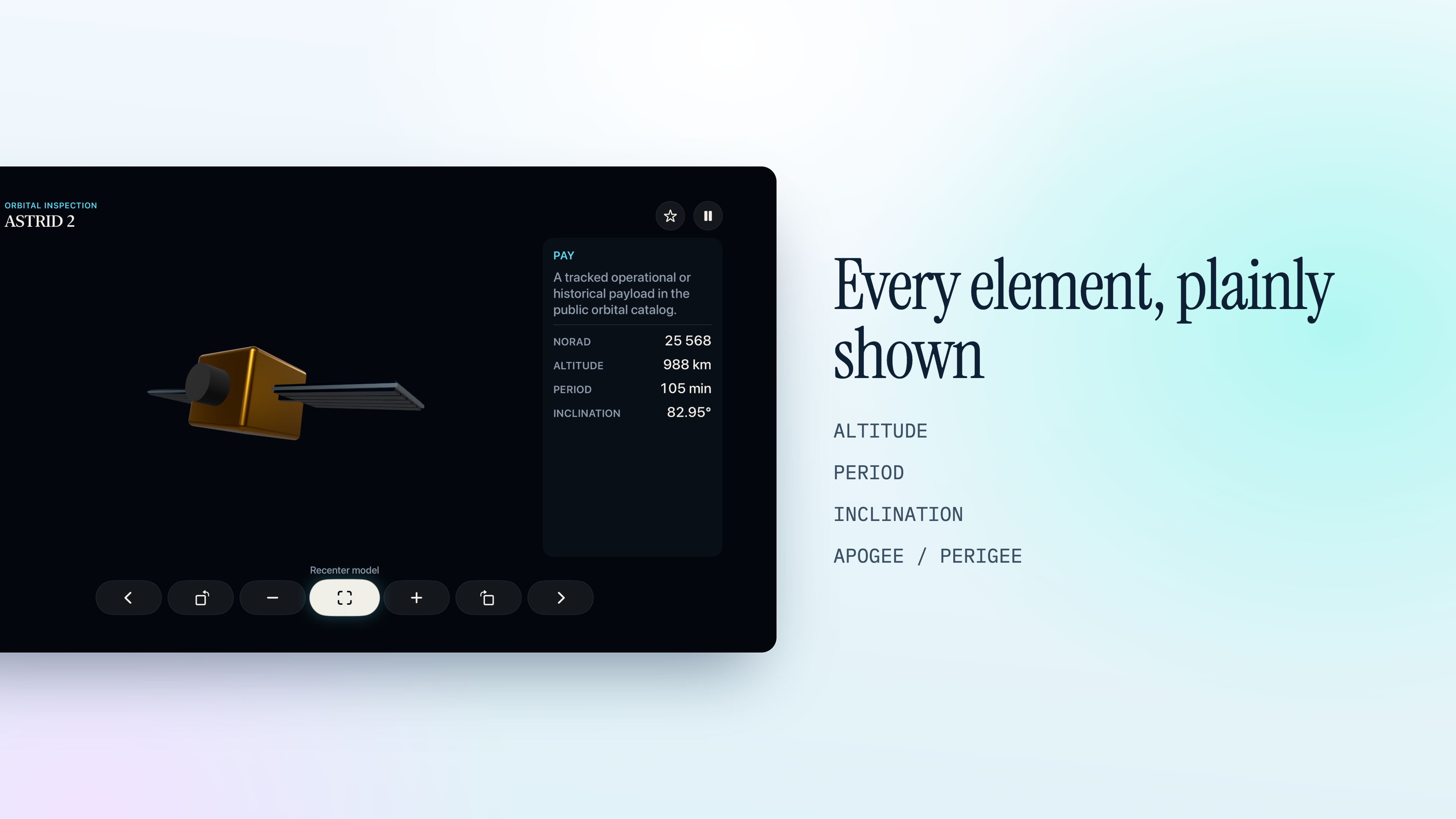
Altitude, speed, period, inclination, apogee, perigee, country and launch year for every object in the catalogue.

Colour the field by what matters

Filter and colour everything by object type, altitude, country or status, and the structure of near-Earth space starts to show.

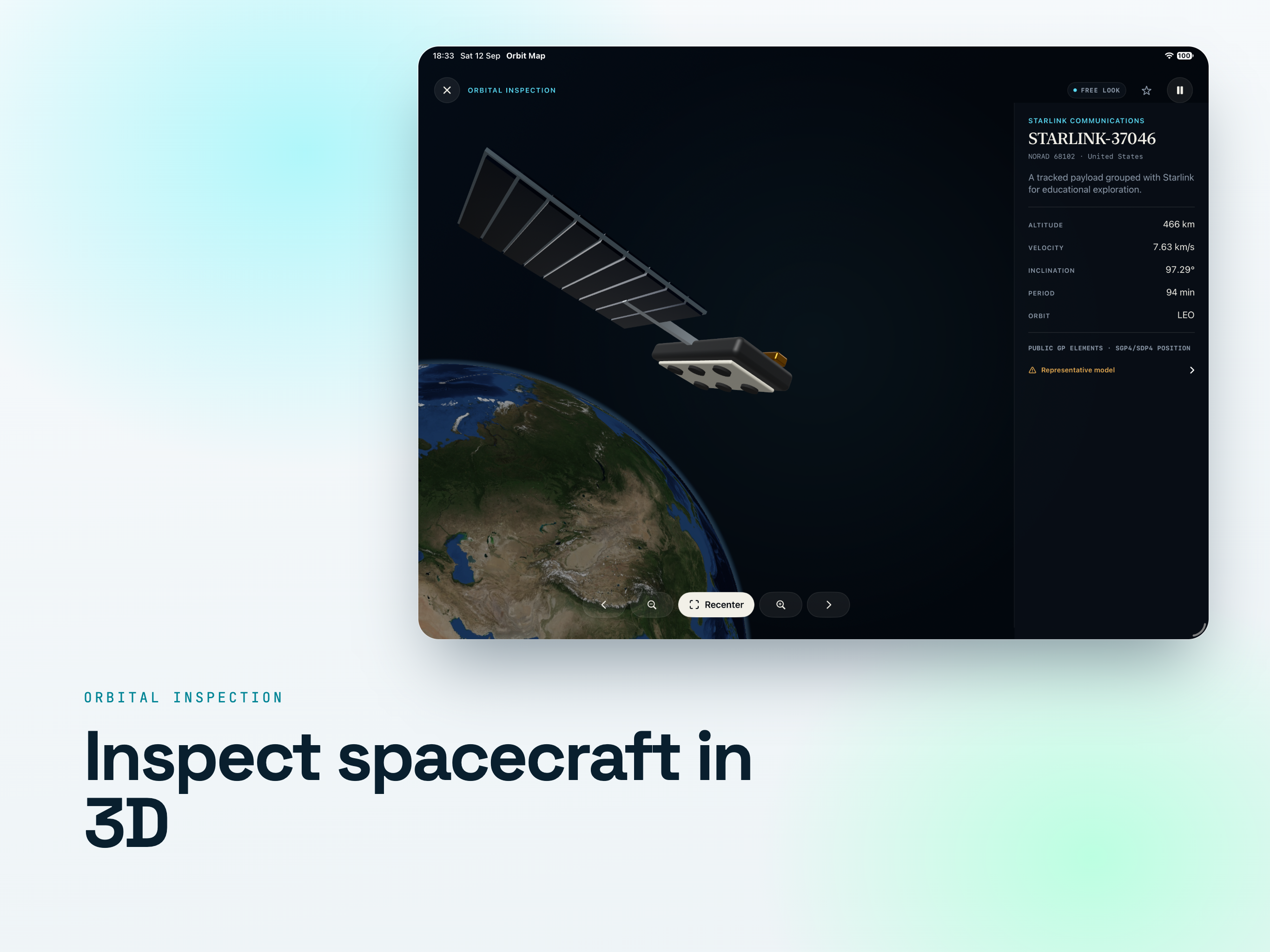
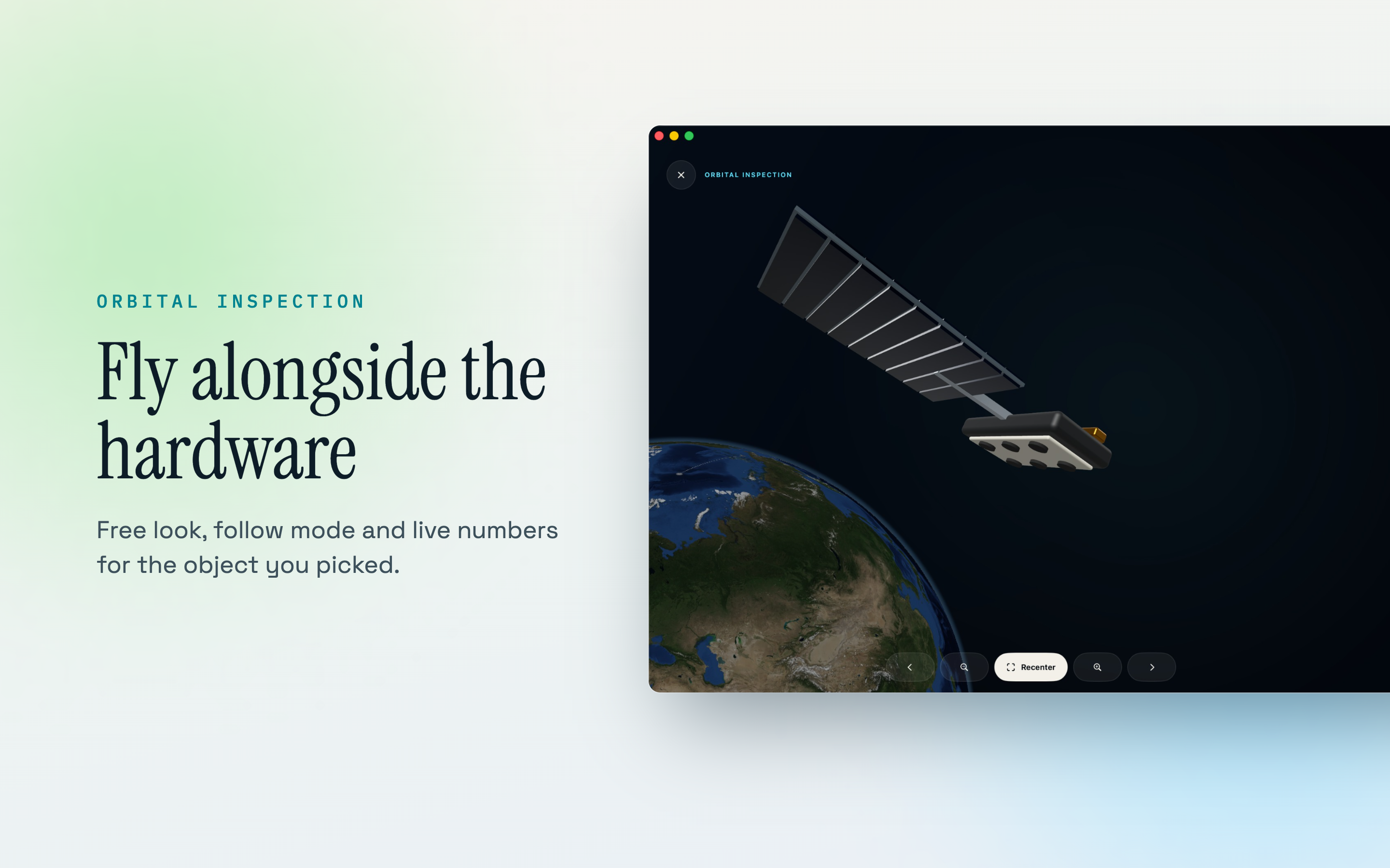
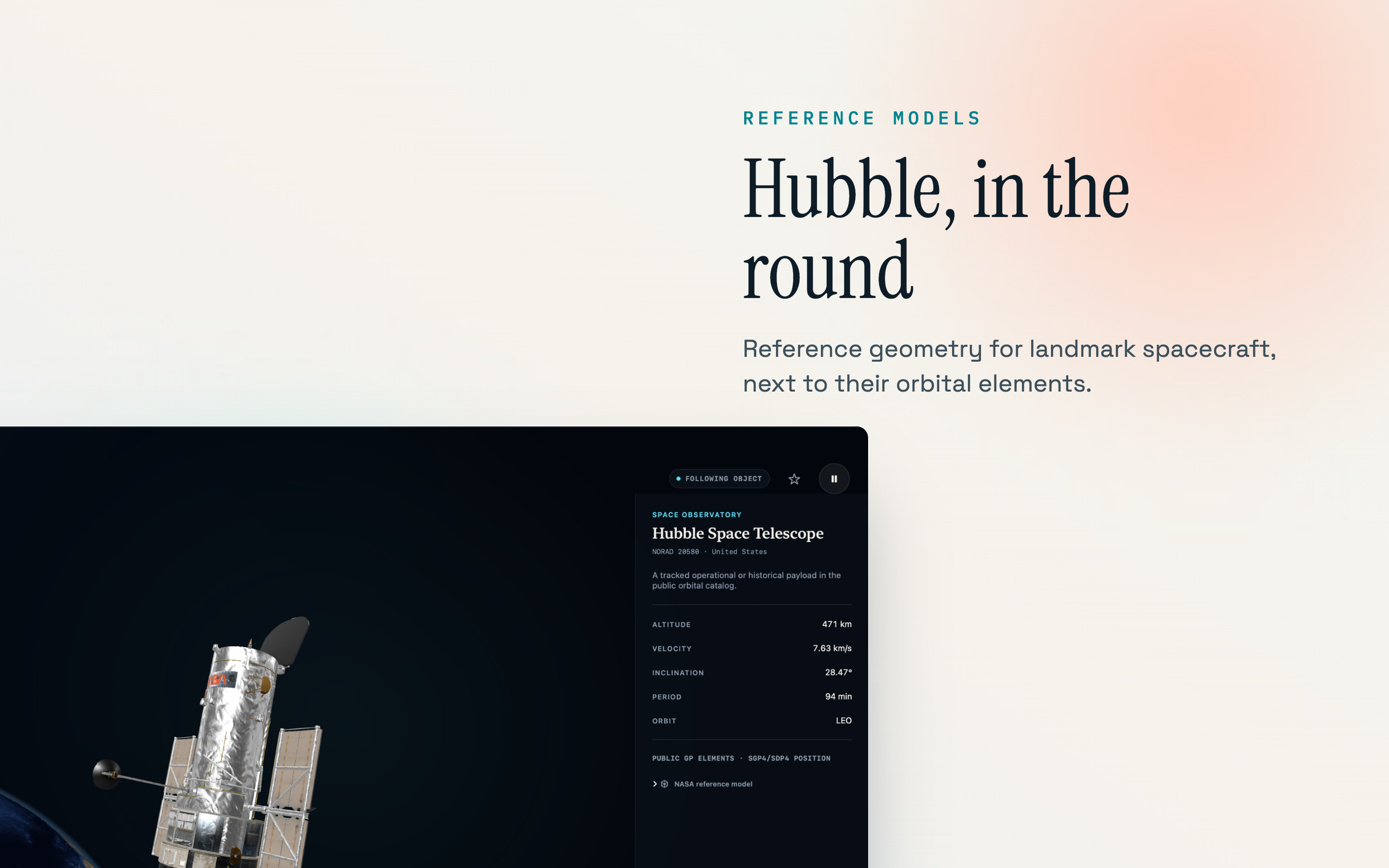
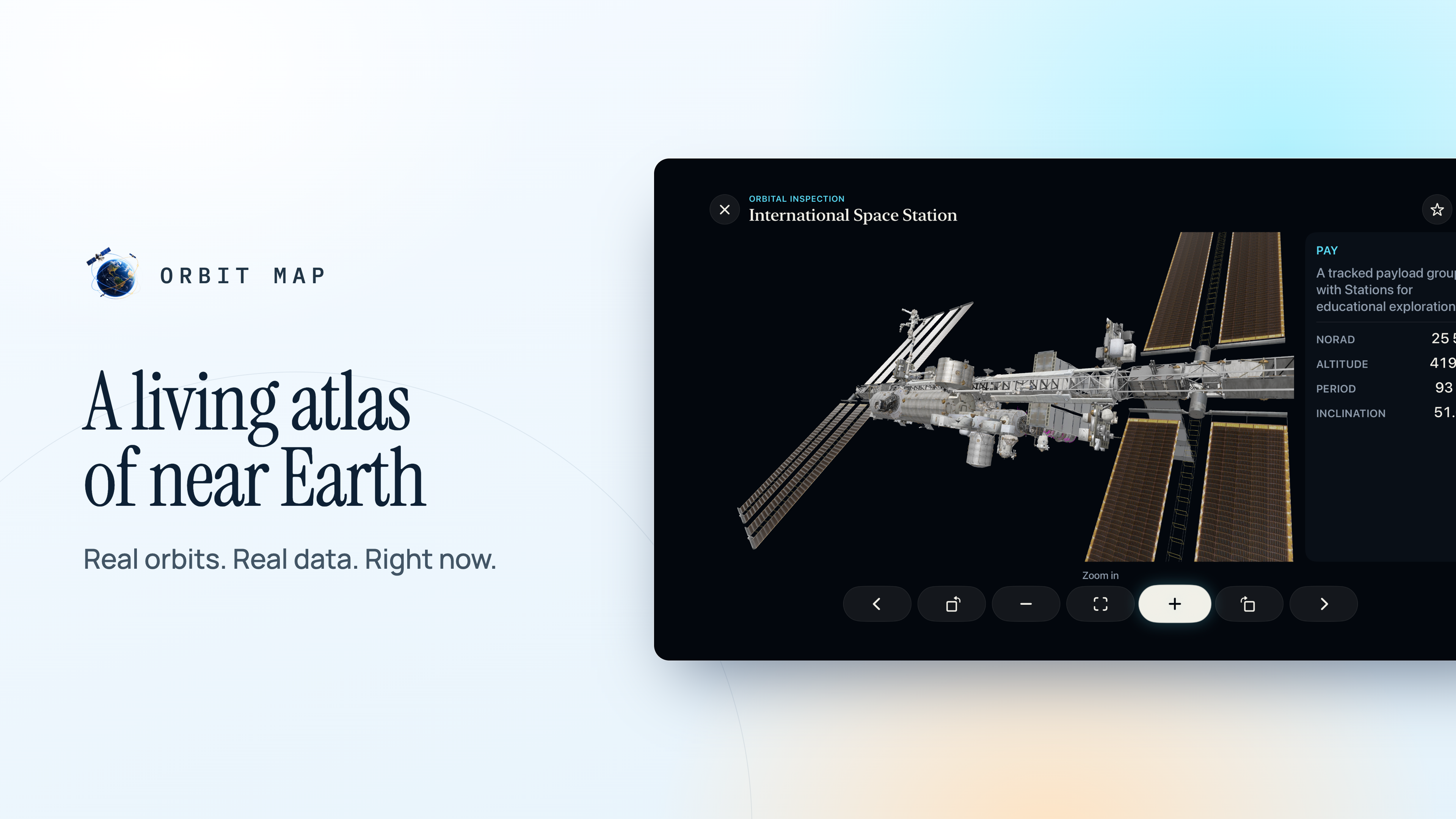
Real spacecraft in 3D

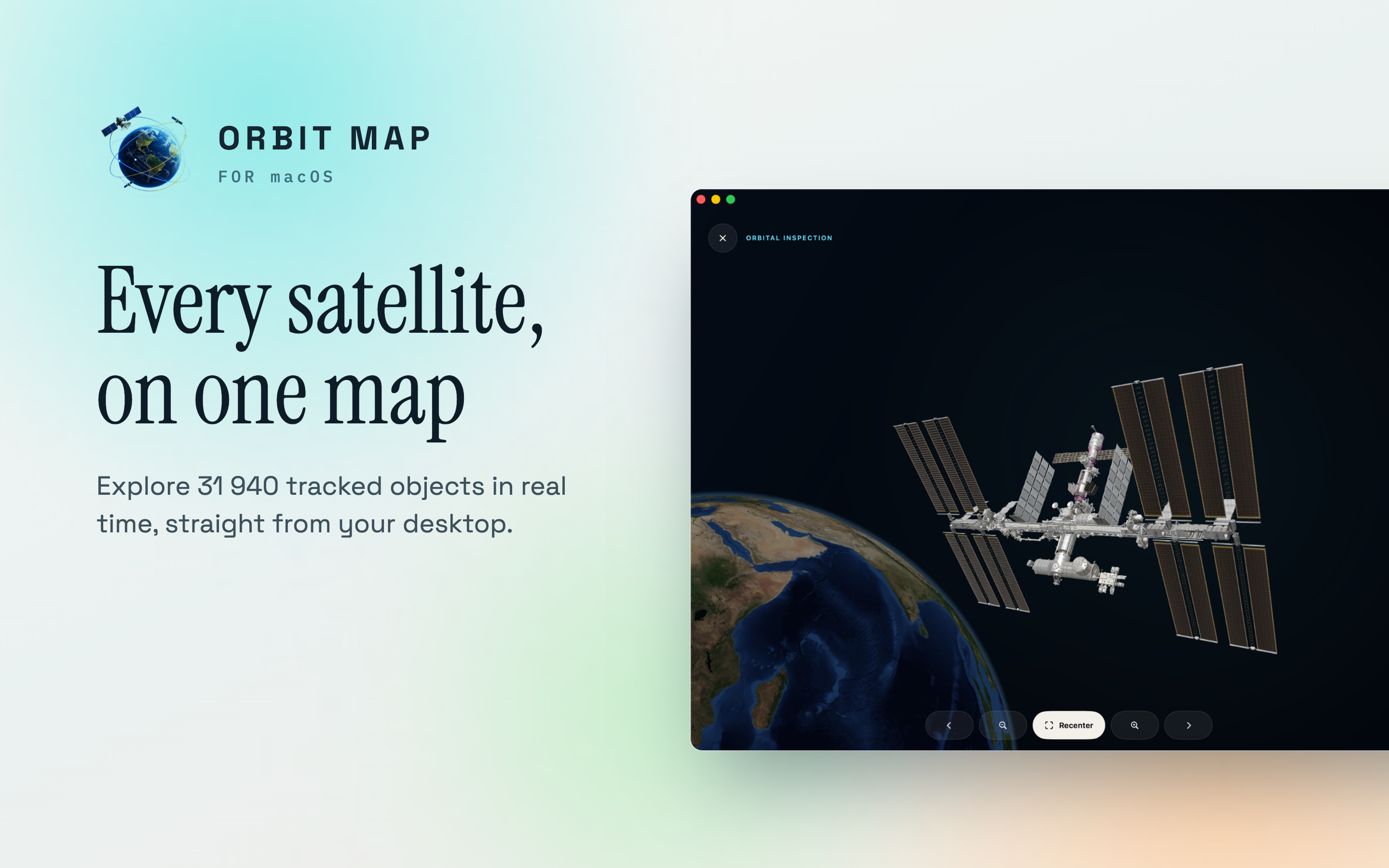
Detailed models of real spacecraft families, so a rocket body looks like a rocket body and not like another dot.

Run time forward and back

Move the clock ahead to see where things will be, rewind it, or freeze the atlas and read it at your own pace.

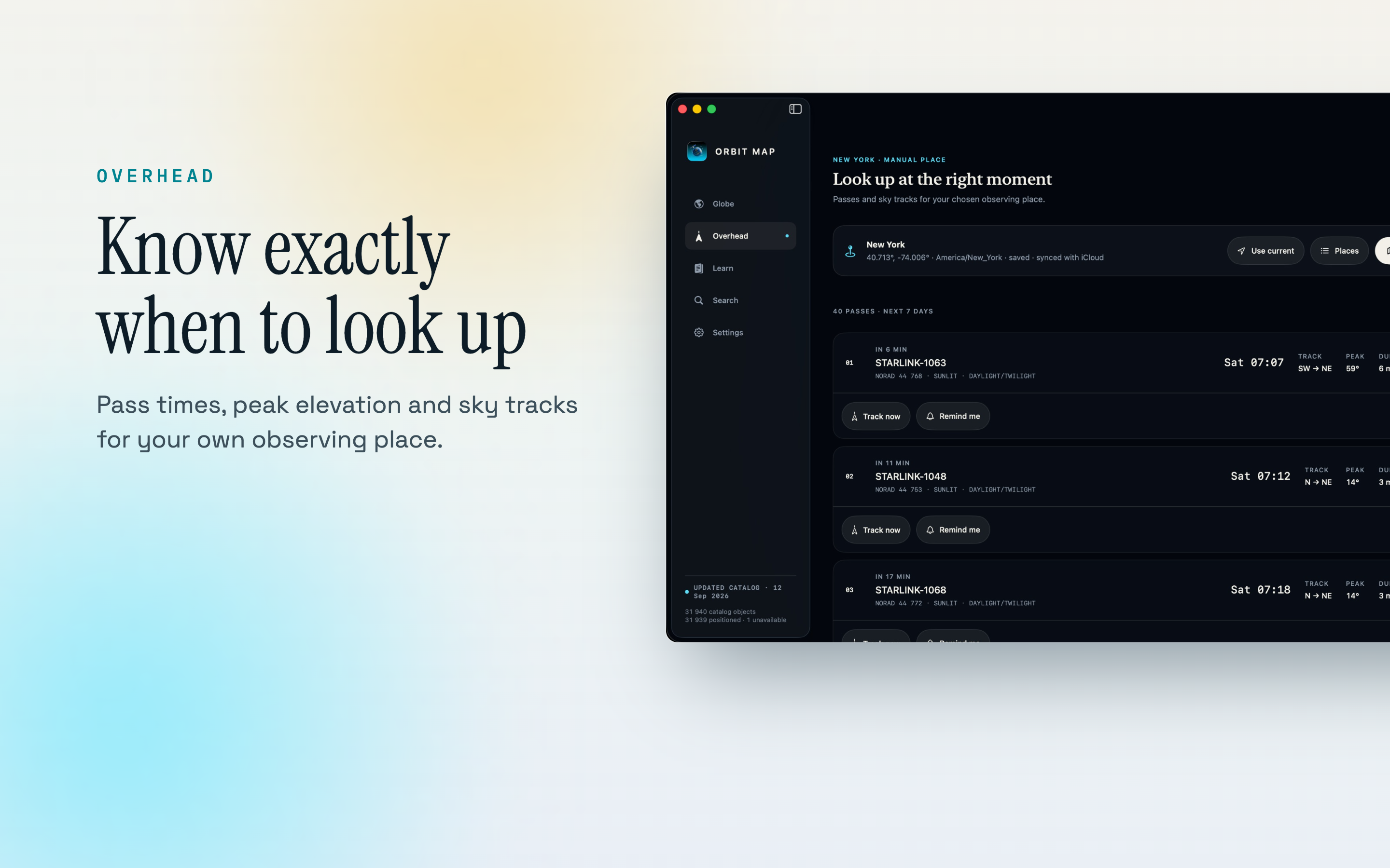
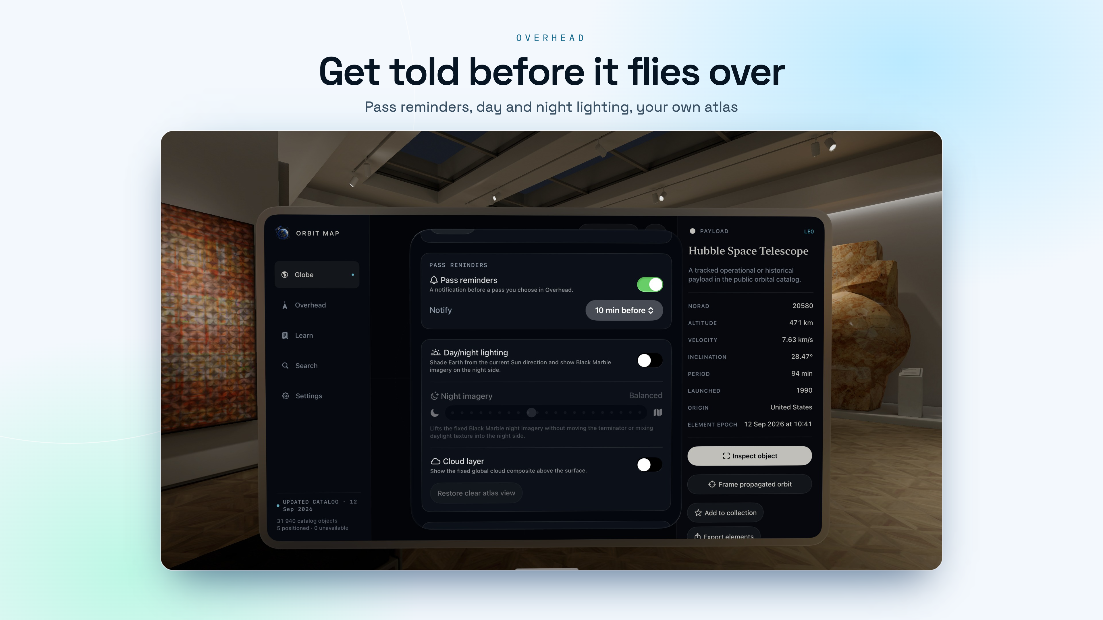
Passes over your own roof

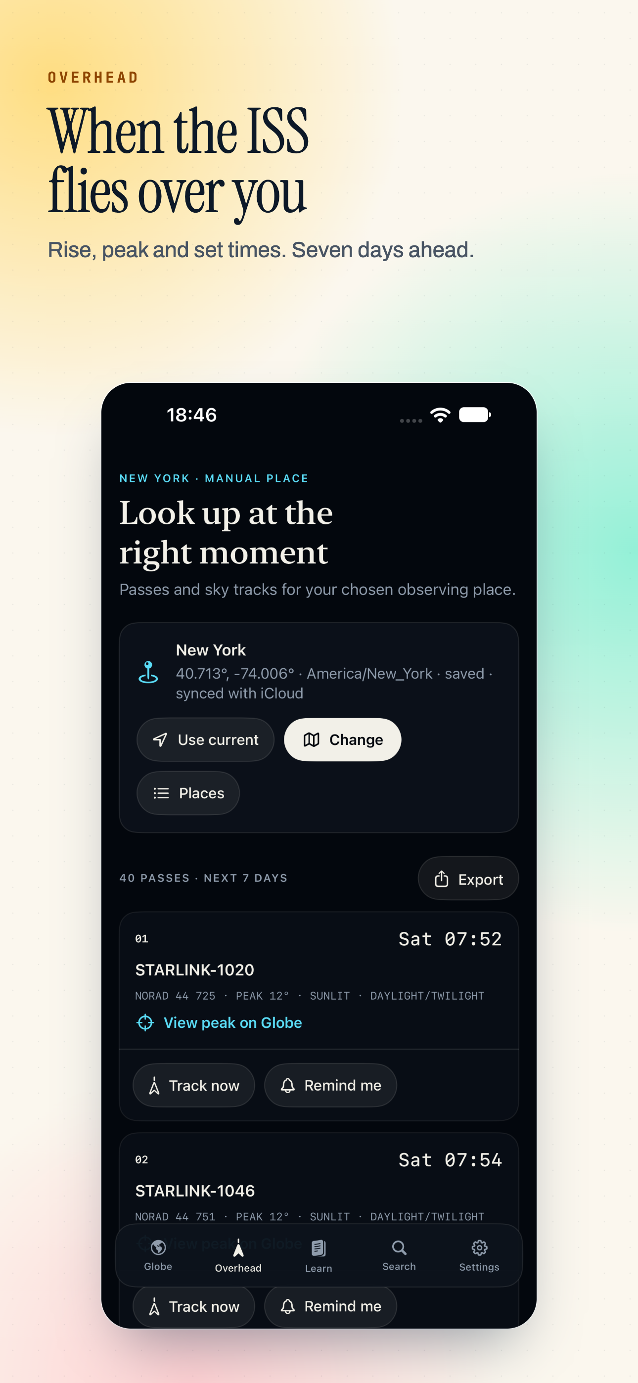
Point it at tonight and it tells you when the Space Station crosses your sky. A pass is only listed as visible when the station is in sunlight and you are in darkness, because a pass you cannot see is not a pass.

  • The Space Station, Tiangong and Hubble.
  • Rise, peak and set for each pass, with azimuth and elevation.
  • Any place on Earth as your observing point, with its own time zone.
  • Notifications before something flies over.

Pass timing uses geometric sunlight and a 10° horizon. Weather and apparent brightness are not modelled, so a sunlit pass is an opportunity rather than a promise.

~31,900
Tracked objects
54
Academy lessons
10°
Pass horizon
5
Apple platforms

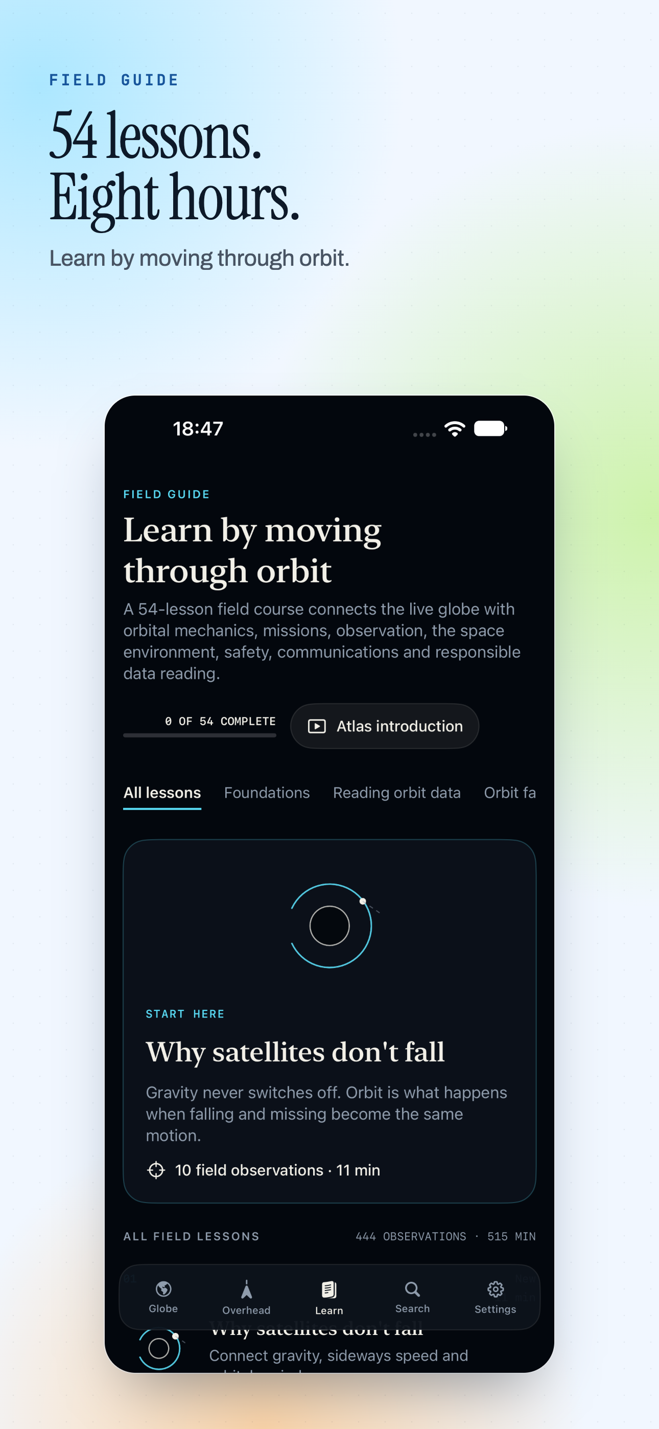
The Academy

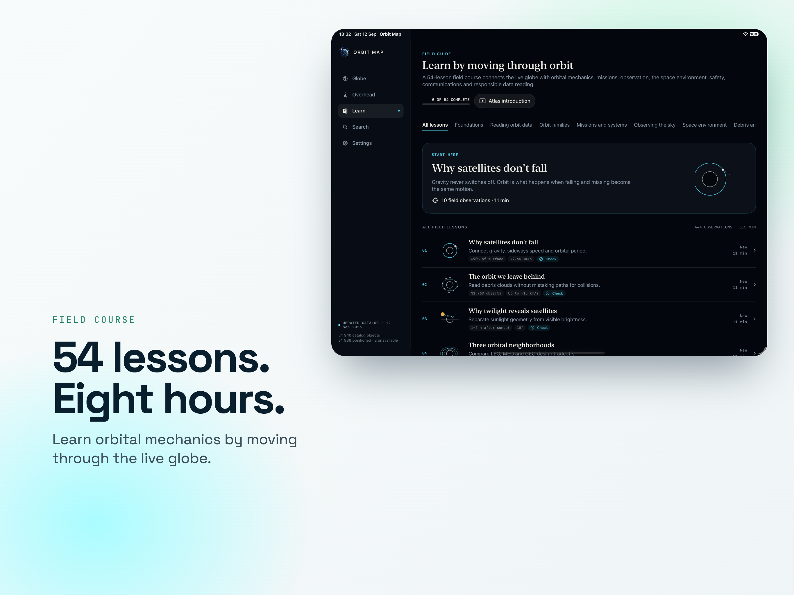
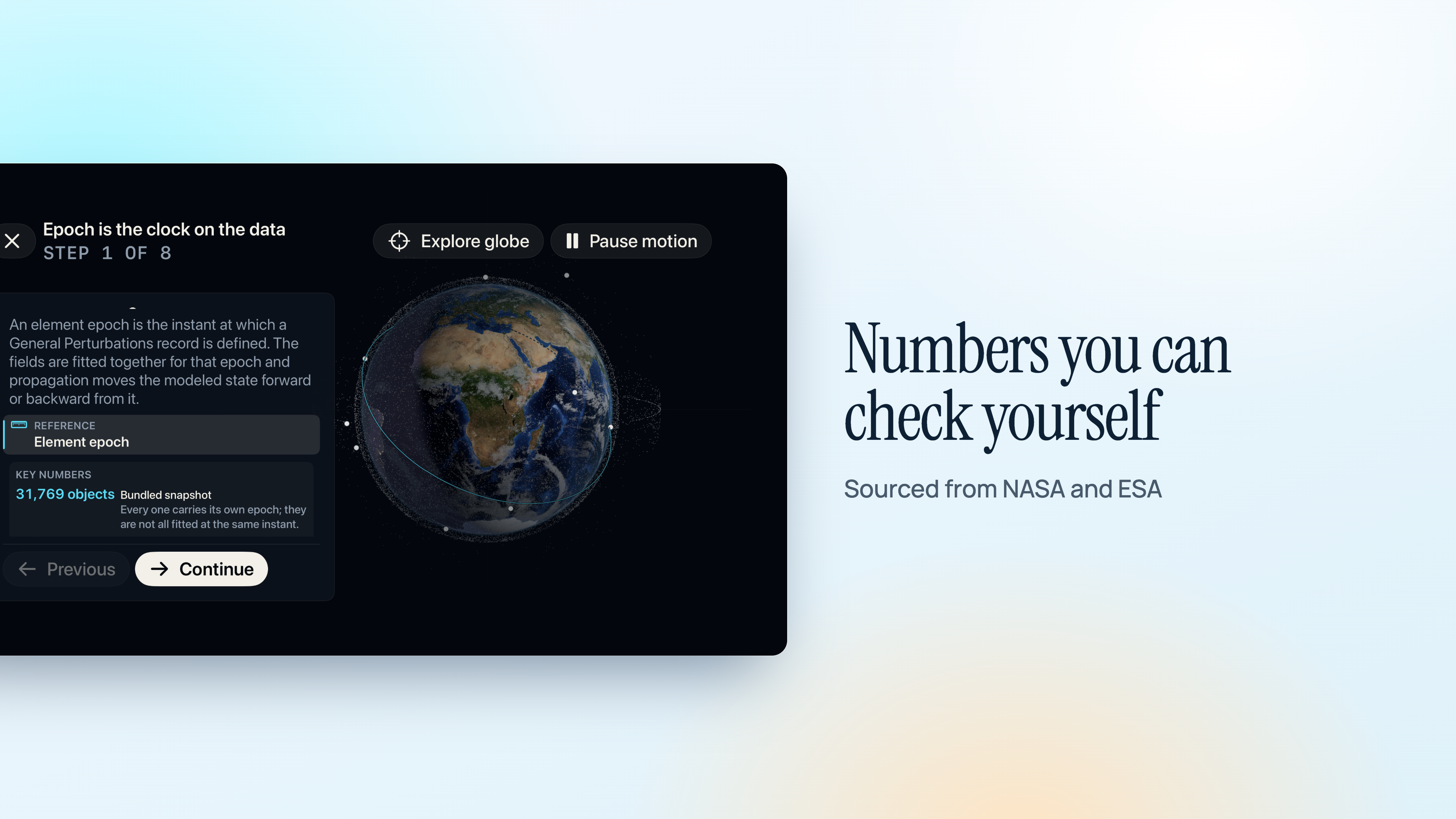
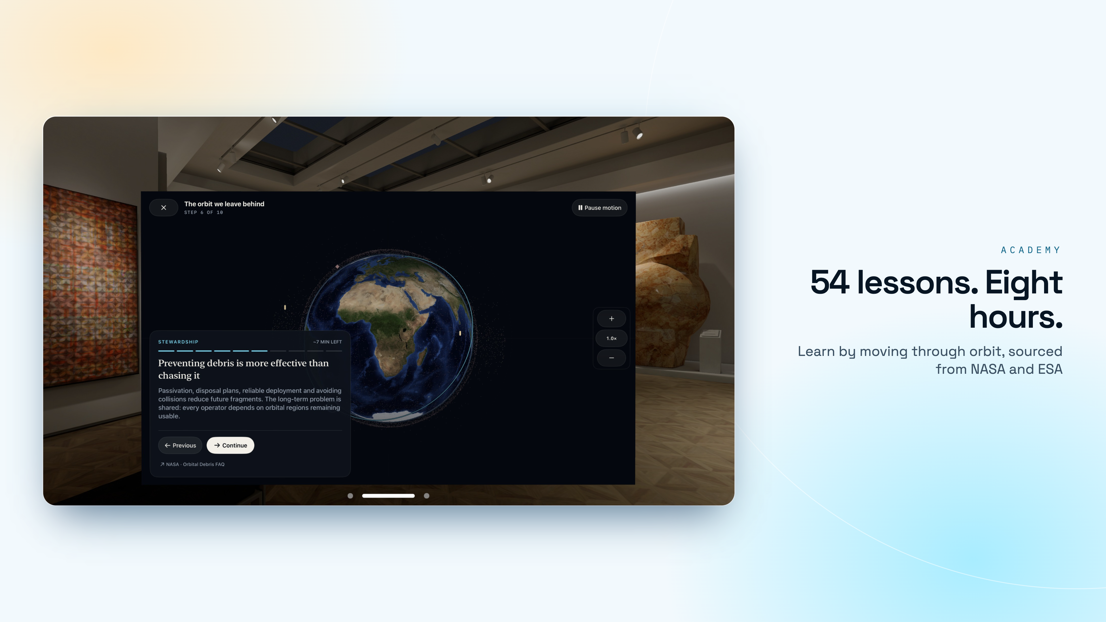
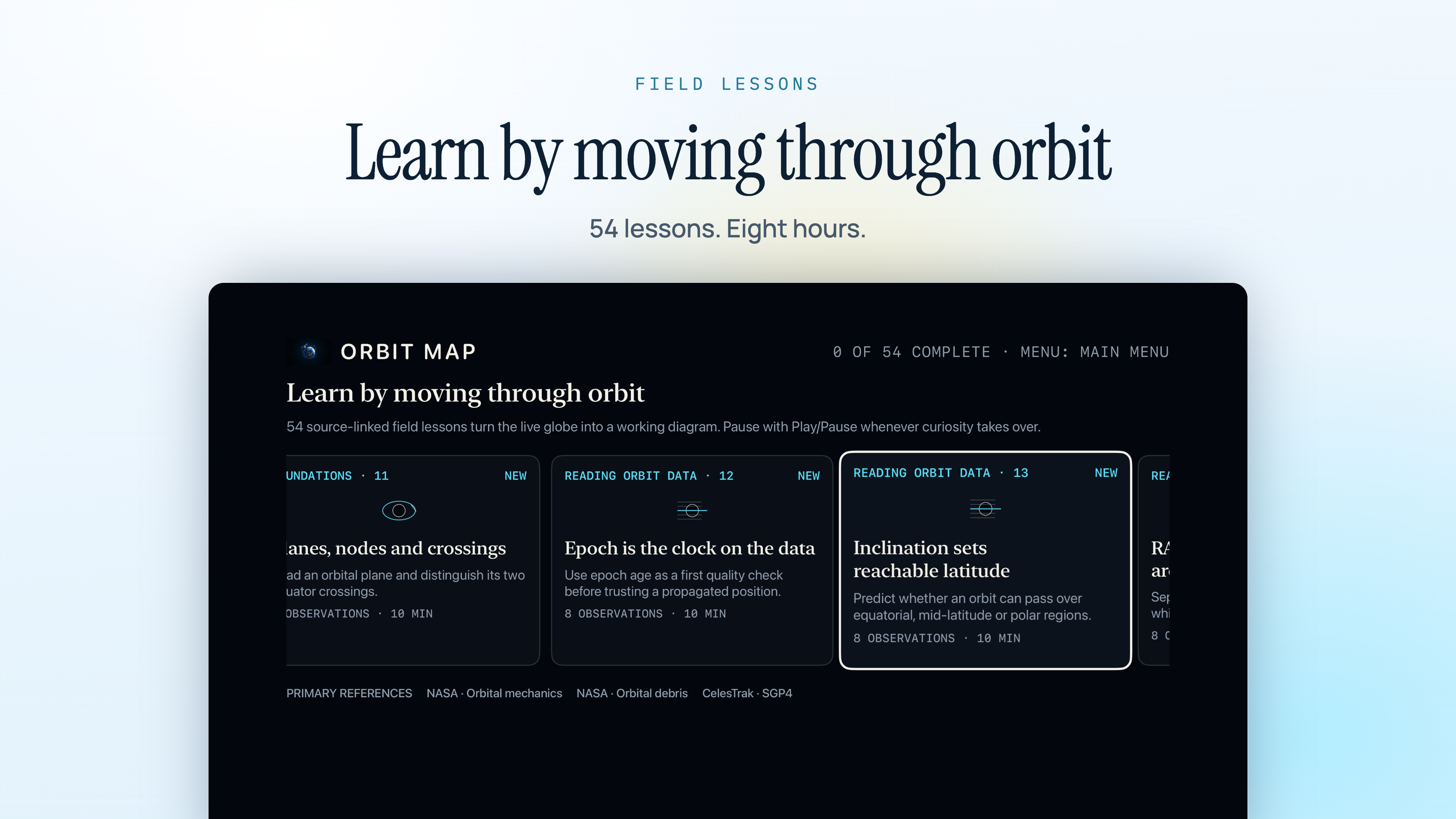
54 lessons and more than eight hours, written for this atlas rather than borrowed from a textbook.

Every lesson carries measured numbers you can check in the inspector, the misconception it exists to correct, two things to do on the globe, a comprehension check and the vocabulary it introduces. Sourced from NASA, ESA, CelesTrak and Space-Track.

Nine modules
Orbital mechanics Reading element sets Orbit families Real missions Observing the sky The space environment Debris and safety Signals and navigation Data literacy

Honest about what it is

Orbit Map propagates public General Perturbations elements. That is the right tool for understanding what is up there and when you can see it, and the wrong tool for several other jobs.

  • Accuracy degrades as elements age and can differ by kilometres.
  • Every screen states which catalogue snapshot it is using and how old the elements behind it are, because the age of your data is part of reading it.
  • It is an educational atlas - not a conjunction assessment tool, not a navigation aid, and not for antenna pointing.
  • The catalogue ships inside the app and positions are computed on your device, so it works offline from the first launch. Newer catalogue snapshots download when a connection is available.

Where the data comes from

ElementsPublic GP elements from Space-Track.org and USSPACECOM
Cross-checkAn independent CelesTrak set, compared before any release ships
PropagatorVallado-compatible SGP4/SDP4, verified against the published reference vectors
UpdatesSigned catalogue snapshots, every byte checked before replacing the one you have
PassesGeometric sunlight, 10° horizon, any observing place on Earth
ImageryEarth imagery courtesy of NASA
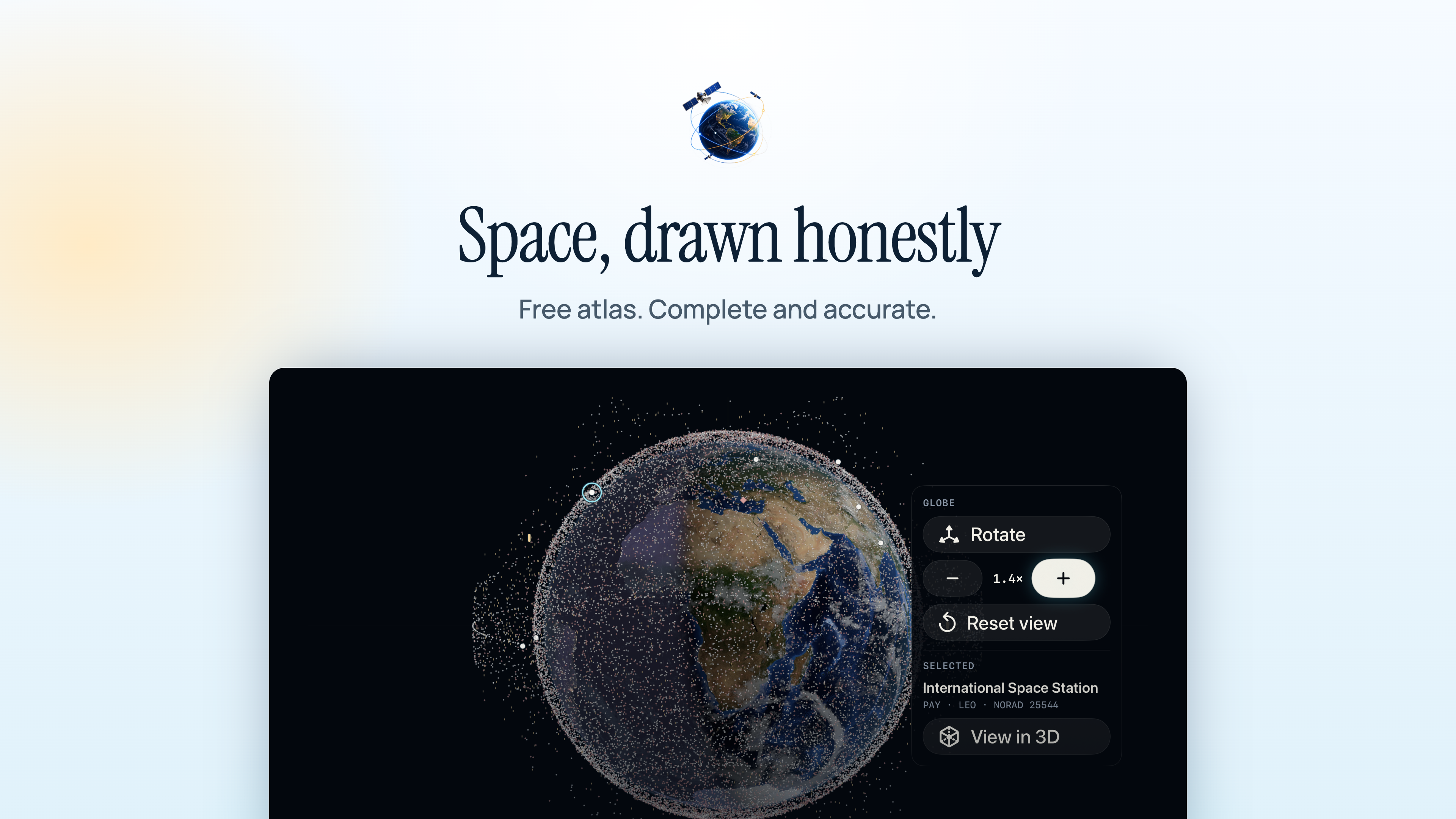
The free atlas

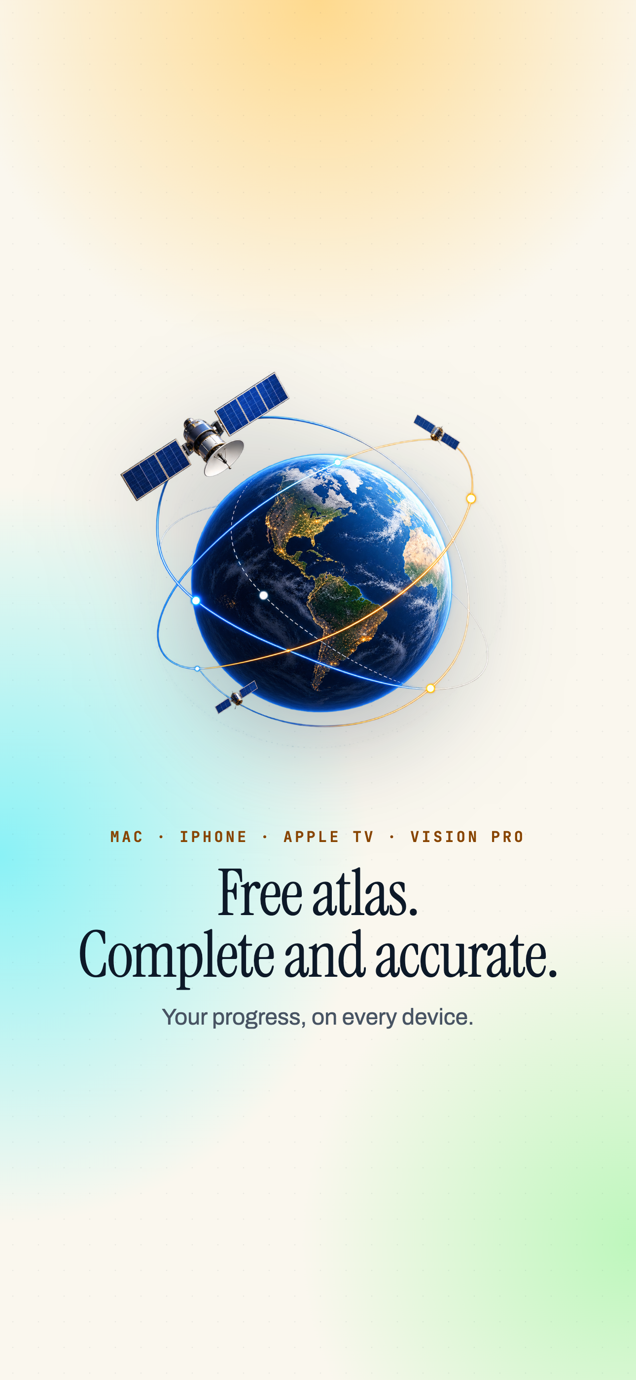
Complete and accurate, not a trailer for the paid version.

  • The whole globe and the entire catalogue.
  • Search by name or NORAD number, with orbit paths.
  • Passes for the Space Station, Tiangong and Hubble.
Premium

For learning it properly and watching from more than one place.

  • All 54 Academy lessons and every constellation.
  • The full Orbital Lens and every spacecraft model.
  • Seven-day forecasts from up to ten saved places, with pass notifications.
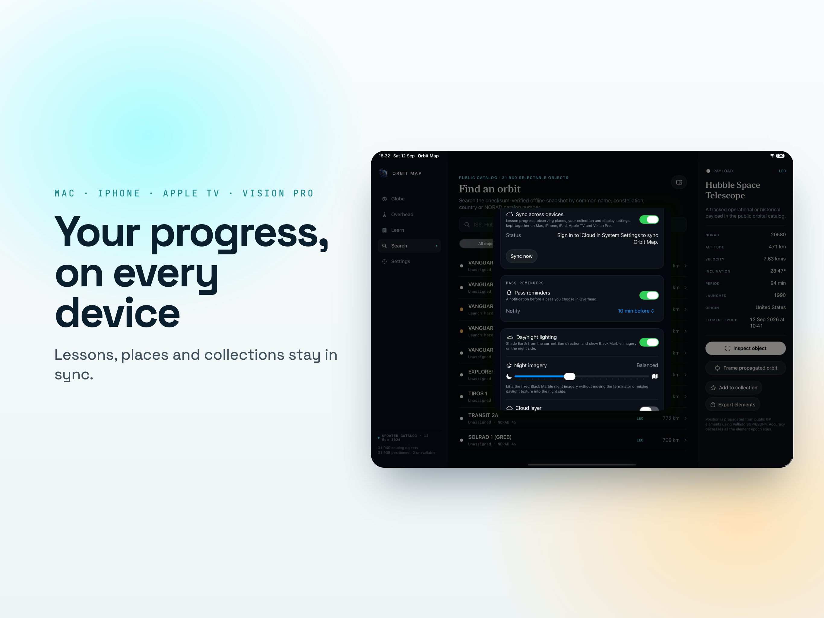
  • The time machine and iCloud sync.

On iPhone

Where you check tonight's pass on the doorstep, and the one place a notification actually reaches you in time to go outside.

On iPad

The globe and the inspector side by side, which is the layout the Academy lessons were written for.

On Mac

Room for the whole catalogue at once, with filters and colouring you can adjust while watching the structure of near-Earth space change.

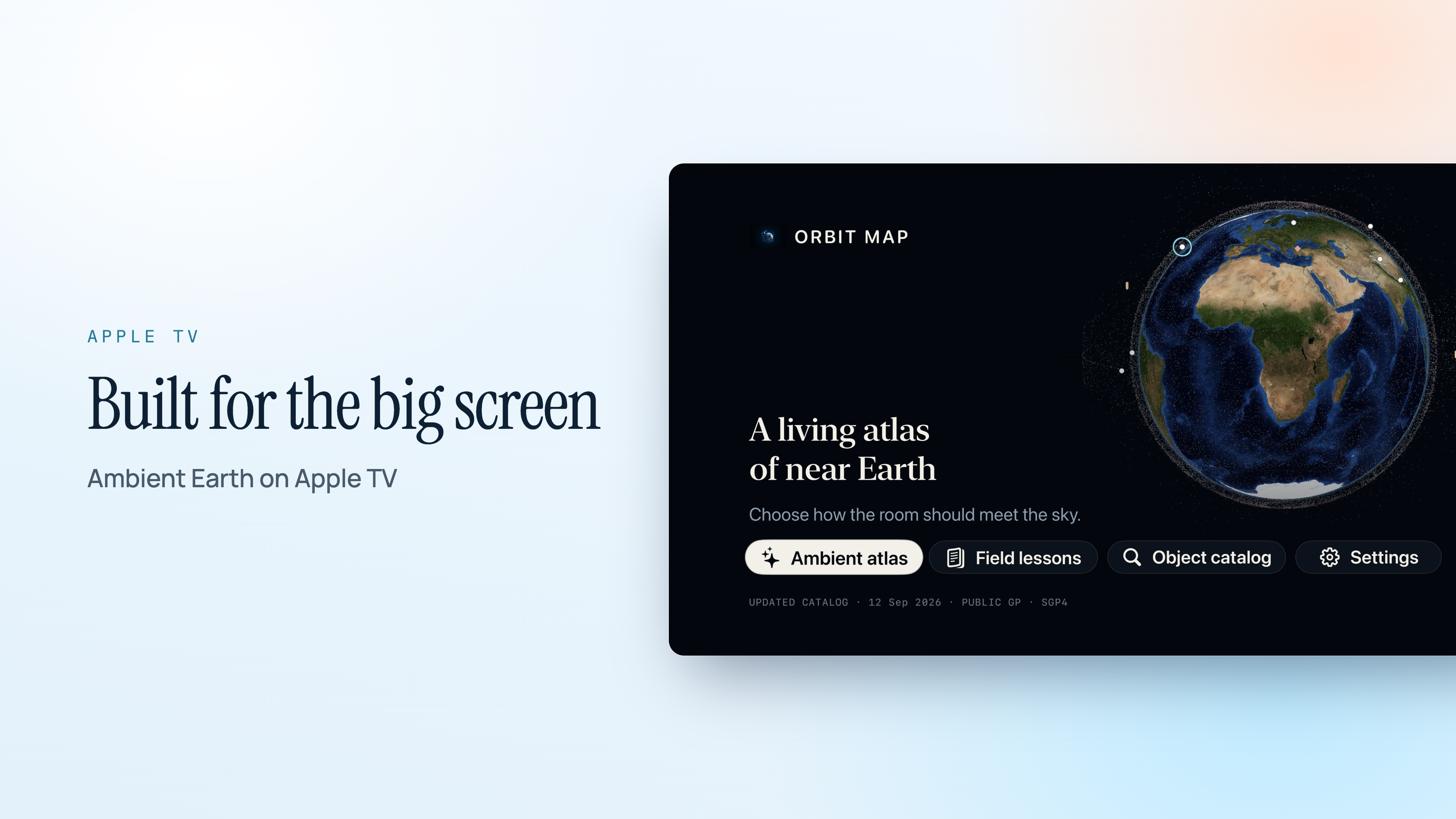
On Apple TV

A slowly turning Earth with the live catalogue drawn around it, big enough for a room to follow a lesson or watch the Station come round again.

On Apple Vision Pro

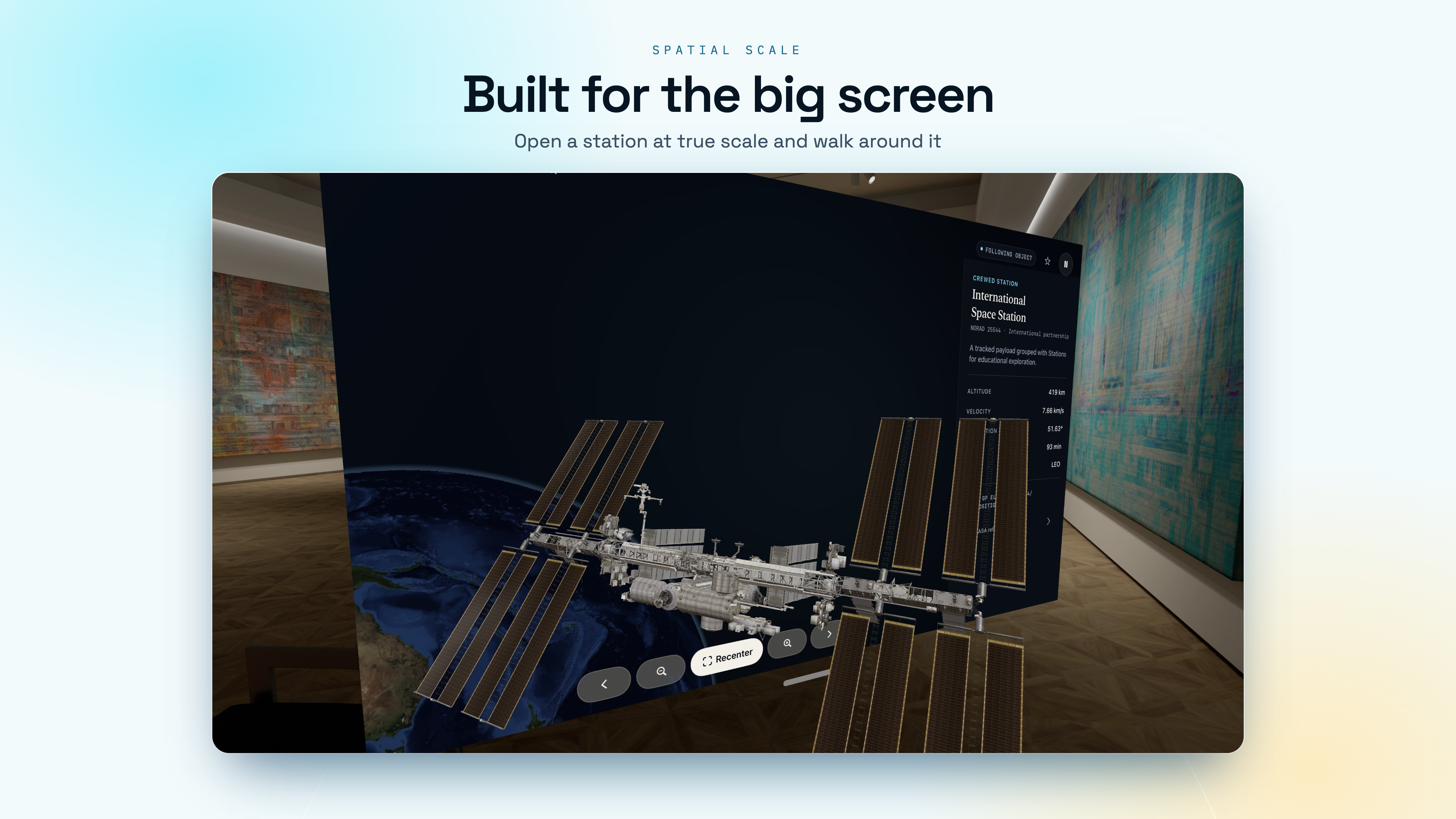
The Earth in the room with you, where the difference between a low orbit and a geostationary one stops being a number and becomes a distance you can see.

Who it suits

Anyone who has seen a bright dot cross the sky at dusk and wanted to know exactly what it was.

Sky-watchers

Tonight's Station pass with the direction to face, and a notification before it rises.

Teachers and students

Nine modules with numbers you can check on the globe, and a comprehension check at the end of each lesson.

Space enthusiasts

The full catalogue by NORAD number, with element sets, orbit families and the age of every snapshot shown.

Families with a big screen

The live Earth on Apple TV, which turns "what is that light" into a question you can answer together.

Available On

With Premium, lesson progress, observing places and display settings stay together through iCloud.

iPhone

iOS 18.0 or later

iPad

iPadOS 18.0 or later

Mac

macOS 15.0 or later

Apple TV

tvOS 15.0 or later

Apple Vision Pro

visionOS 2.0 or later

Data provided by Space-Track.org and USSPACECOM. Validation data provided by CelesTrak, Dr. T.S. Kelso. Earth imagery courtesy of NASA.

Frequently asked questions

Does it need a connection to show where satellites are?

No. The catalogue ships inside the app and positions are propagated on the device, so the globe works offline from the first launch. A connection is only used to fetch a newer catalogue snapshot, and every update is signed and checked byte by byte before it replaces the one you have.

How accurate are the positions?

They come from public General Perturbations elements run through SGP4/SDP4, the same model the industry uses. Accuracy degrades as the elements age and can differ by kilometres, which is why every screen states which snapshot it is using and how old it is. It is an educational atlas, not a conjunction assessment or antenna-pointing tool.
Will it tell me when I can see the Space Station?

Yes - rise, peak and set with azimuth and elevation, for the Station, Tiangong and Hubble in the free app. A pass only counts when the object is sunlit and your sky is dark, and the horizon is taken at 10°. Weather and apparent brightness are not modelled, so treat a sunlit pass as an opportunity rather than a promise.

Which devices does it run on?

iPhone and iPad on iOS 18, Mac on macOS 15, Apple TV on tvOS 15 and Apple Vision Pro on visionOS 2.0 or later. With Premium, lesson progress, observing places and display settings sync through iCloud.

What is free and what needs Premium?

The free atlas is complete: the whole globe, the entire catalogue, search, orbit paths, and passes for the Station, Tiangong and Hubble. Premium opens all 54 Academy lessons, every constellation, the full Orbital Lens, seven-day forecasts from up to ten saved places, pass notifications, every spacecraft model, the time machine and iCloud sync. See the Orbit Map help page.

Where does the data come from?

Public GP elements from Space-Track.org and USSPACECOM, cross-checked against an independent CelesTrak set before a release ships. Earth imagery courtesy of NASA.
Can I learn orbital mechanics with it?

Yes. The Academy has 54 lessons and more than eight hours across nine modules, from orbital mechanics and reading element sets to debris and data literacy. Each lesson carries numbers you can check in the inspector and two tasks to do on the globe. Premium opens all 54 lessons.

Why does every screen show how old the data is?

Because positions come from orbital elements measured at a particular moment, and their accuracy falls as that moment recedes - fastest for low orbits. Knowing the age of your data is part of reading it. See what a TLE is.