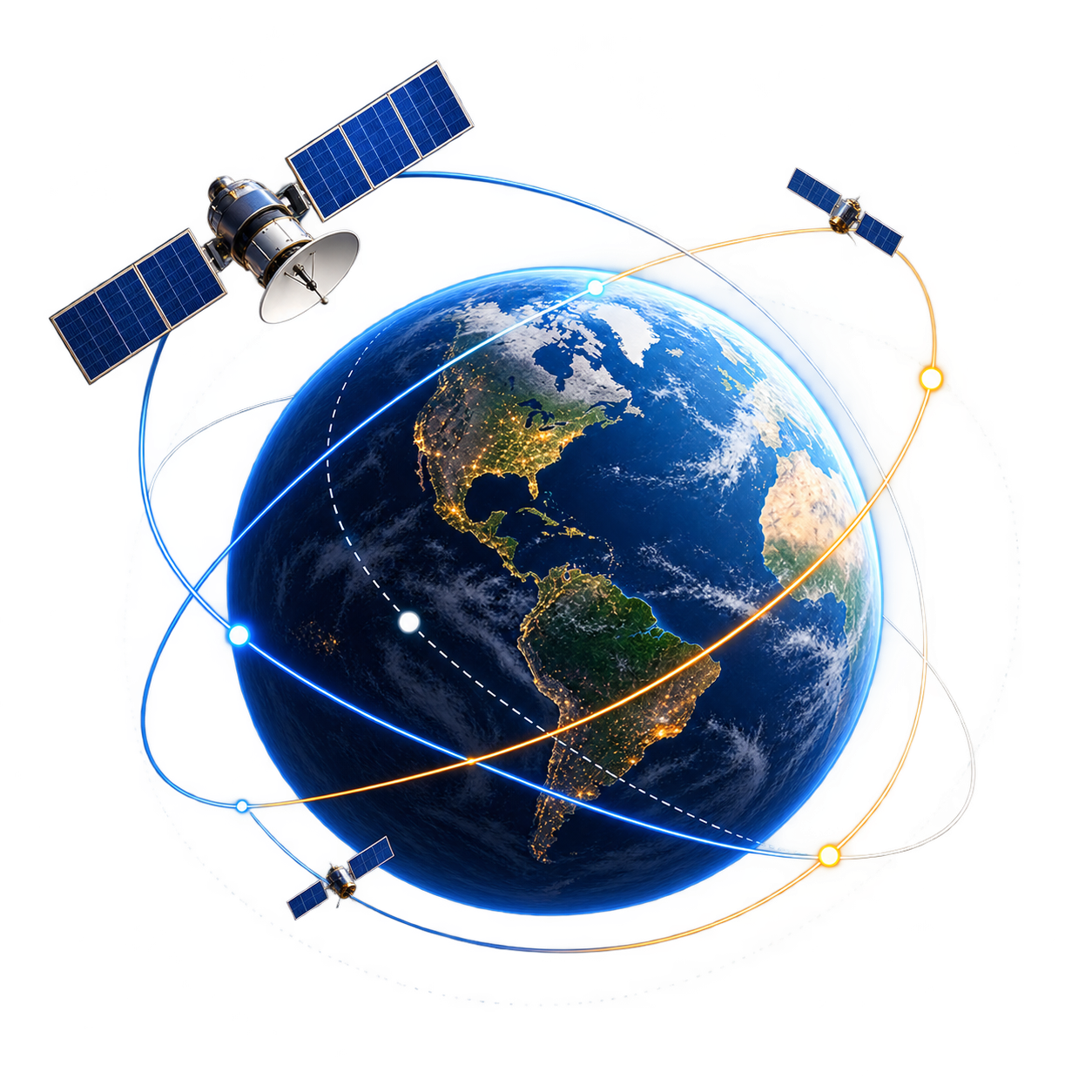
Most questions about a satellite tracker come down to two things: whether the object is actually visible from where you stand, and how old the data behind its position is. This page covers both, and everything else the atlas does.
How do I find the next Space Station pass over my house?
Set your observing place - your current location or any place on Earth, each with its own time zone - and open the passes list. Each pass shows rise, peak and set with azimuth and elevation. Azimuth is the compass direction to face; elevation is how high above the horizon to look. The free app covers the Space Station, Tiangong and Hubble.
A pass was listed but I saw nothing. What went wrong?
Usually one of three things. Weather is not modelled, so cloud hides a pass the geometry says is visible. Apparent brightness is not modelled either, so a low pass through haze near the horizon can be too faint. And city light swallows fainter objects - the Space Station is bright enough to beat it, Hubble often is not. A sunlit pass in a dark sky is an opportunity, not a promise.
Why are some passes not shown as visible at all?
A satellite is only visible when it is lit by the Sun while you are standing in darkness. In the middle of the night the object is usually in Earth's shadow; in daylight your sky is too bright. That leaves windows around dusk and dawn, which is why passes cluster there. Orbit Map checks both conditions and uses a 10° horizon, because the lowest few degrees are usually blocked by buildings, trees or haze.
What does the element age on every screen mean?
Positions are computed from orbital elements measured at a particular moment, called the epoch. The further you are from that moment, the more small errors - mostly from atmospheric drag - accumulate. Low objects drift from their predicted position faster than high ones. The age is shown so you can judge how much to trust a position, the same way you would check the date on a weather forecast.
How accurate are the positions?
The propagator is a Vallado-compatible SGP4/SDP4 implementation verified against the published reference vectors, so the maths itself is right. The limit is the public General Perturbations elements it runs on: accuracy degrades as they age and can differ by kilometres. That is fine for seeing what is overhead and when, and is exactly why this is not a conjunction assessment, navigation or antenna-pointing tool.
Does Orbit Map work without a connection?
Yes. The catalogue ships inside the app and positions are propagated on your device, so the globe, search and passes work offline from the first launch. When a connection is available, newer catalogue snapshots download - every update is signed and each byte is checked before it replaces the one you have.
How do I find a satellite by its NORAD number?
Type the number into search. Every tracked object has a permanent catalogue number - the Space Station is 25544 - and it is the most reliable way to find something, because names are reused and shortened. The inspector then shows its altitude, speed, period, inclination, apogee, perigee, country and launch year.
Why do Starlink satellites sometimes appear in a line?
Shortly after a launch, a batch is released together and spends days to weeks spreading out while raising to its working altitude. During that time they travel in a visible string. Once they reach operational orbit they are spaced apart and are generally much harder to see. Tap the Starlink group to see the whole constellation at once.
What is the difference between the object types?
Payloads are the spacecraft that were launched to do something, working or dead. Rocket bodies are the upper stages that put them there and stayed in orbit. Debris is everything else that is tracked: fragments from breakups, collisions and weapons tests, plus shed hardware. Colour the field by object type and the proportions are the first thing you notice.
What does running time forward or back do?
It propagates the whole catalogue to another moment, so you can watch where things will be or where they were. Remember that the further you move from the element epoch, the less accurate positions become - the time machine is for understanding motion, not for predicting a precise position weeks away.
What is the Academy?
54 lessons, more than eight hours, across nine modules from orbital mechanics to data literacy. Each lesson has numbers you can verify in the inspector, the misconception it corrects, two tasks to do on the globe, a comprehension check and its vocabulary. Material is sourced from NASA, ESA, CelesTrak and Space-Track.
What does Premium add?
The free atlas is complete: the whole globe, the entire catalogue, search, orbit paths, and passes for the Space Station, Tiangong and Hubble. Premium opens all 54 lessons, every constellation, the full Orbital Lens, seven-day forecasts from up to ten saved places, pass notifications, every spacecraft model, the time machine and iCloud sync.
Why does each object show a different element age?
Element sets are published object by object, not all at once. A busy low satellite may have been refreshed hours ago, while a quiet piece of debris far out may carry elements that are days old. The age shown belongs to the object you are looking at, so it is worth checking per object rather than assuming the whole catalogue is equally fresh.
Why does a satellite vanish partway across the sky?
It has flown into Earth's shadow. A satellite is only visible while it reflects sunlight, so when it crosses into the shadow it fades out - sometimes within a few seconds - even though it is still above your horizon. That is expected, and it is often the most striking moment of a pass.
Do my places and lesson progress sync between devices?
With Premium, yes. iCloud sync keeps lesson progress, observing places and display settings together across iPhone, iPad, Mac, Apple TV and Apple Vision Pro.
Get Orbit Map: Live 3D ISS, Starlink & Debris
A live 3D atlas of about 31,900 tracked objects - Space Station passes over your roof, Starlink, GPS and debris, propagated on the device.
Search by NORAD catalogue number if you have it - the Space Station is 25544 - or by name if you do not.
Open the result in the inspector and read its altitude, period and inclination.
Turn on the orbit path to see its route through space, and the ground track to see where that route passes over the map.
Show the horizon footprint to see which part of Earth can see it at this moment.
Star it, so it is one tap away next time.
If a name search returns dozens of matches, the object is probably part of a series. The catalogue number is the only thing that picks out exactly one.
A fresh batch travels as a visible line for only a short time before it spreads out.
Watch for a recent Starlink launch - the first few days afterwards are the best chance.
Tap the Starlink group, then colour by altitude or filter by launch year to pick out the newest batch, still bunched together low down.
Follow its ground track to see when the group comes near your location around dusk or dawn, when the satellites are sunlit and your sky is dark.
Face the direction they approach from a few minutes early; the line can take a minute or more to pass.
Look again a week later and see how far the batch has spread.
Pass predictions cover the Space Station, Tiangong and Hubble. For Starlink, the globe and the ground track show where a group is and where it is heading.
You’re browsing inside Instagram, and its built-in browser isn’t allowed to hand
links over to the App Store. Open this page in Safari and the link will work.
Tap •••the three-dot menu
at the top right, then choose Open in external browser.