One rule connects everything that follows: the higher the orbit, the longer it takes to go round. It comes straight from Kepler's third law - the square of the period grows with the cube of the orbit's size. Pick a period you want and the altitude is decided for you.
Low Earth orbit
Anything below about 2,000 km. It is by far the most crowded region, because it is the cheapest to reach and the closest to the ground.
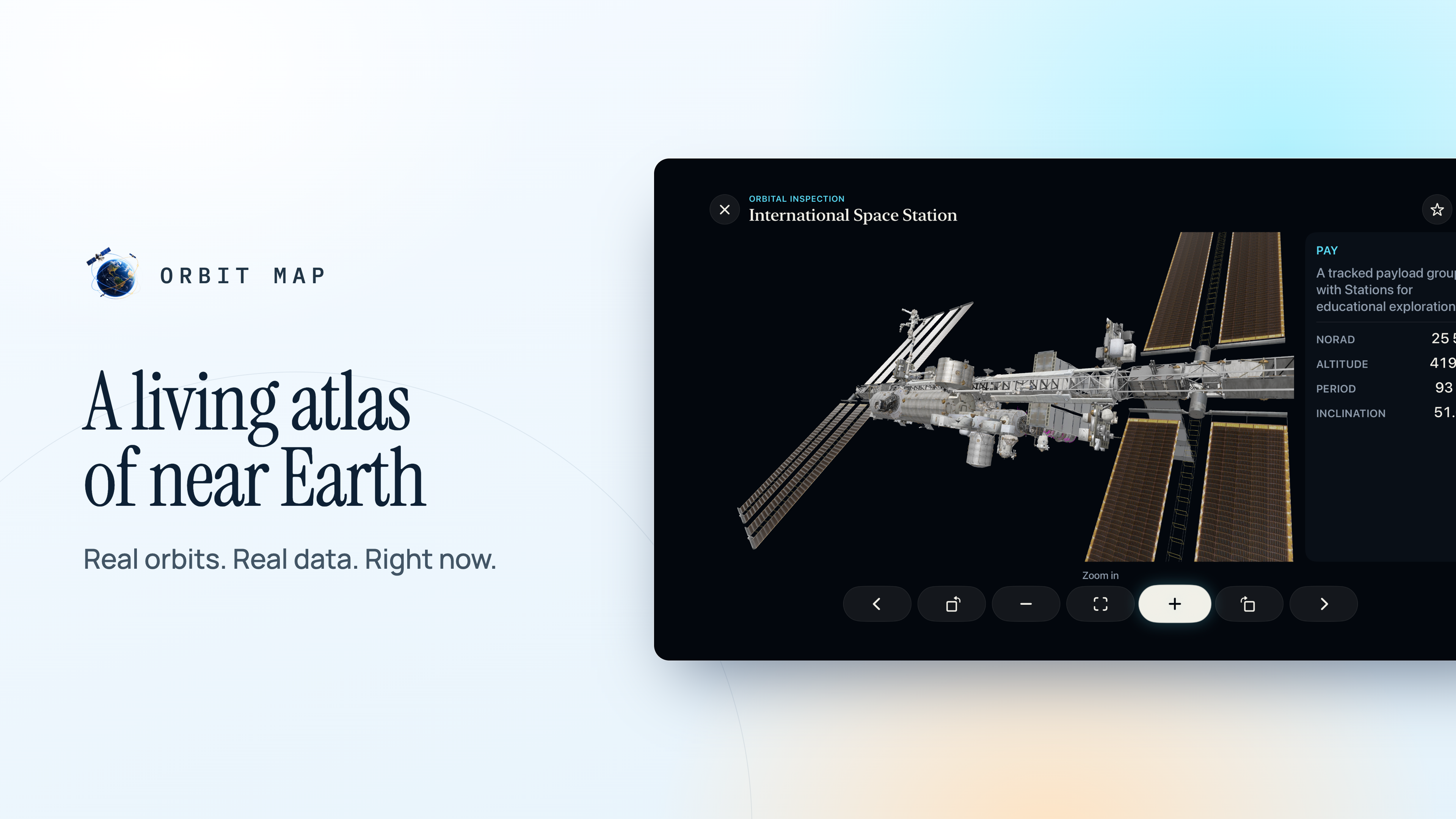
The Space Station flies at roughly 400 to 420 km and completes an orbit in about 93 minutes. Starlink's working shells are higher, around 550 km. Earth-observation satellites sit lower still or a little higher depending on the resolution they need.
Low orbit's advantages are closeness - sharper images, stronger signals, short delay for communications. Its costs are that each satellite sees only a small patch of Earth at a time, so you need many of them for continuous coverage, and that there is still enough atmosphere to drag everything down eventually.
Sun-synchronous orbit
A special case within low orbit, typically 600 to 800 km with an inclination of about 98°, slightly past polar.
That tilt is chosen so that Earth's equatorial bulge slowly rotates the orbit by about a degree a day - exactly keeping pace with Earth's journey around the Sun. The result is that the satellite crosses the equator at the same local solar time on every pass. For imaging, that means consistent lighting, so pictures taken months apart can be compared directly.
Medium Earth orbit
The wide band between low orbit and geostationary height. Its best-known residents are the navigation constellations.
- GPS at about 20,200 km, taking almost exactly half a sidereal day per orbit, in six planes inclined at 55°.
- GLONASS at about 19,100 km, inclined at 64.8° for better coverage at high northern latitudes.
- Galileo at about 23,200 km, inclined at 56°.
At these heights each satellite sees a large fraction of the planet, so a few dozen can keep several in view from anywhere on Earth - which is what a receiver needs to fix its position. There is also almost no drag, so the orbits are extremely stable and predictions stay good for a long time.
Geostationary orbit
At 35,786 km above the equator, an orbit takes exactly one sidereal day - 23 hours 56 minutes, the time Earth takes to turn once relative to the stars. A satellite there, moving eastward over the equator, keeps pace with the ground beneath it and appears fixed in the sky.
That is why a satellite dish on a house can be bolted in place and never move. It is also why weather satellites that watch a whole hemisphere continuously live there.
Two terms get confused. Geosynchronous means any orbit with a one-sidereal-day period, which can be tilted and appear to trace a figure-of-eight. Geostationary is the specific case over the equator with no tilt, which appears to stand still.
Geostationary slots are limited and valuable. At the end of their lives, satellites there are boosted a few hundred kilometres higher into a "graveyard orbit" to free the slot and keep them out of the way.
Highly elliptical orbits
Not every orbit is round. A Molniya orbit swings very close to Earth at one end and far out at the other, with a period of about 12 hours and an inclination of 63.4°.
That inclination is not arbitrary: at 63.4°, the effect of Earth's bulge that would otherwise rotate the orbit's low point cancels out, so the long, slow high end stays over the same hemisphere. Russia developed it to serve high northern latitudes that geostationary satellites, low on the horizon from there, serve badly.
Reading the shells on a globe
Colour the catalogue by altitude and zoom out until the whole planet fits. The families appear as distinct layers: the thick, busy shell of low orbit close to the surface, the thinner band of navigation satellites further out, and the neat ring at geostationary height far beyond them. Every one of those layers is there because the physics put it there.